Record SL-786807 · Wikidata Q3443642
Gjelhøi
Gjelhøe
No list classifications
Elevation
1,982
m
6,503 ft
Prominence
208 m
Isolation
3.0 km
Coordinates
61.7718° N,
7.9231° E
Grid ref
—
Description
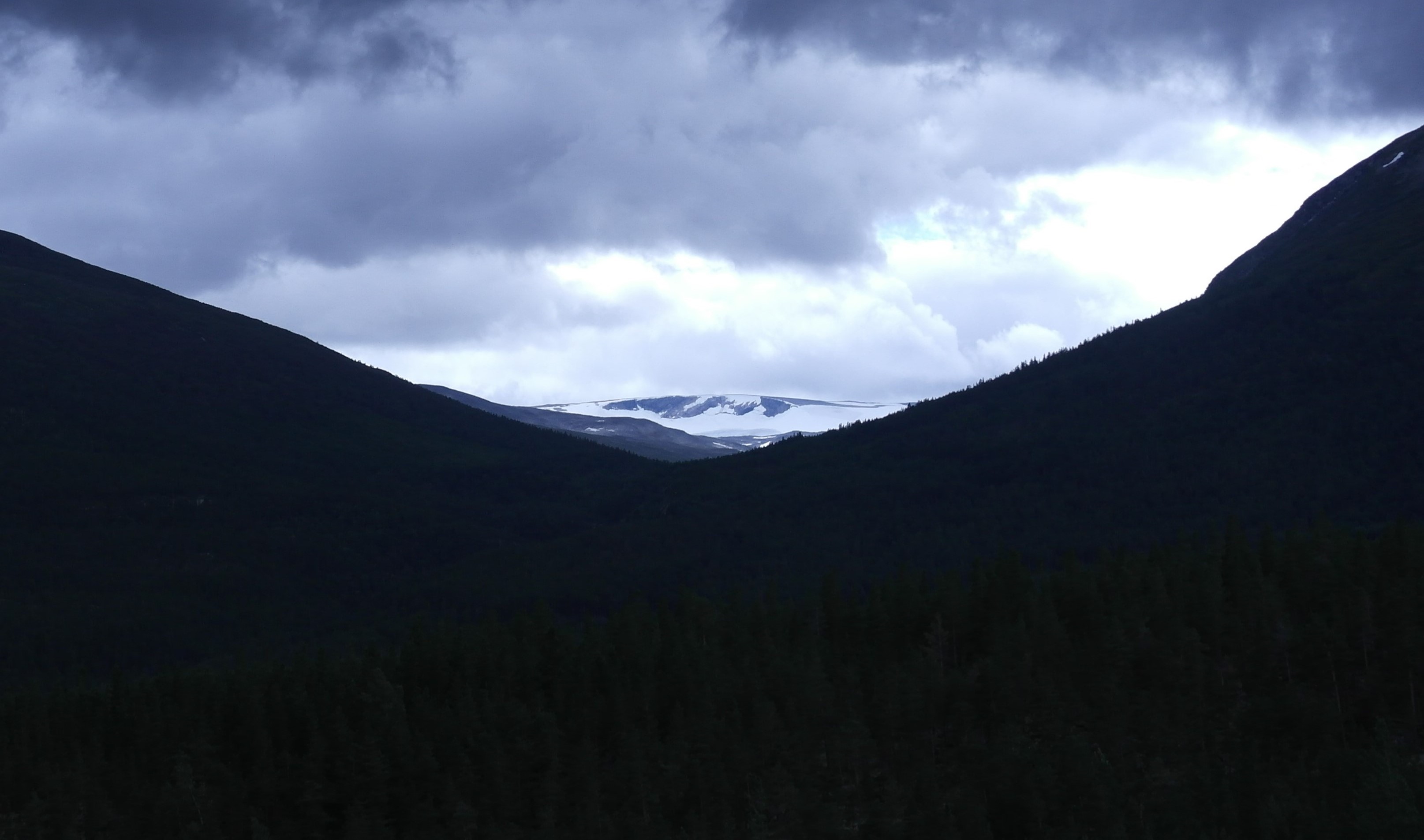
WikipediaGjelhøi is a mountain in Skjåk Municipality in Innlandet county, Norway. The 1,982-metre (6,503 ft) tall mountain is located in the Breheimen mountains and inside the Breheimen National Park, about 22 kilometres (14 mi) southwest of the village of Bismo and about 30 kilometres (19 mi) north of the village of Fortun. The mountain is surrounded by several other notable mountains including Hestdalshøgdi and Låven to the northeast, Hestbreapiggan to the southeast, Holåtindan to the southwest, and Tundradalskyrkja to the west. The Holåbreen glacier lies between this mountain and the nearby Holåtindan.
Best months
Hiking score 0–100 · 10-yr climate averagesRows beneath each bar: mean temperature, monthly precipitation. Highest-scoring month in red.
Neighbouring summits
| Name | Elevation | Bearing | Distance |
|---|---|---|---|
| Austre Holåtinden | 2,043 m | S 202° | 2.9 km |
| Holåtindene | 2,047 m | SW 221° | 3.2 km |
| Ytre Gjelhøi | 1,943 m | W 251° | 3.7 km |
| Midtre Holåtinden | 2,047 m | SW 222° | 4.3 km |
| Vesldalstinden | 1,805 m | S 168° | 4.7 km |