Record SL-735554 · Wikidata Q12687362
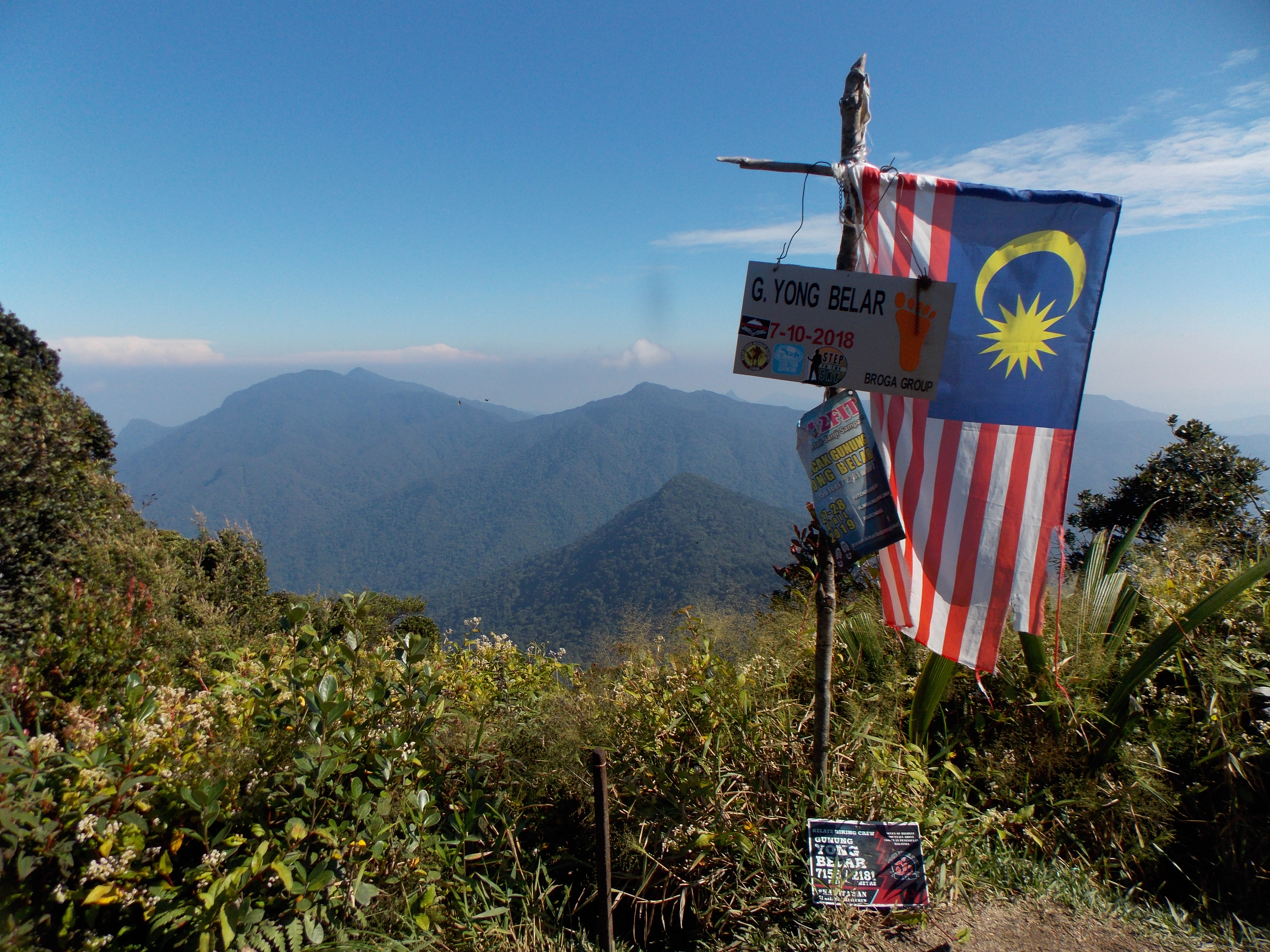
Gunung Yong Belar
No list classifications
Elevation
2,181
m
7,156 ft
Prominence
1,991 m
Isolation
—
Coordinates
4.6506° N,
101.3620° E
Grid ref
—
Description
WikipediaMount Yong Belar (Malay: Gunung Yong Belar) is a mountain on the border of the states Kelantan and Perak in the Titiwangsa Mountains of Malaysia. Its summit is 2,181 m (7,156 ft) above sea level, making it the highest mountain in the state of Kelantan, and the third highest in Peninsular Malaysia, behind Mounts Tahan and Korbu, the latter being located 8 km north.
Best months
Hiking score 0–100 · 10-yr climate averagesRows beneath each bar: mean temperature, monthly precipitation. Highest-scoring month in red.
Neighbouring summits
| Name | Elevation | Bearing | Distance |
|---|---|---|---|
| Gunung Warpu | 1,745 m | SE 120° | 3.3 km |
| Gunung Chalil | 1,923 m | S 163° | 3.4 km |
| Gunung Tiga Negeri | 1,802 m | S 162° | 4.3 km |
| Gunung Junction | 2,072 m | NW 320° | 4.8 km |