Record SL-487026 · Wikidata Q97181042
Monte Sodadura
No list classifications
Elevation
2,010
m
6,594 ft
Prominence
132 m
Isolation
—
Coordinates
45.9401° N,
9.5471° E
Grid ref
—
Description
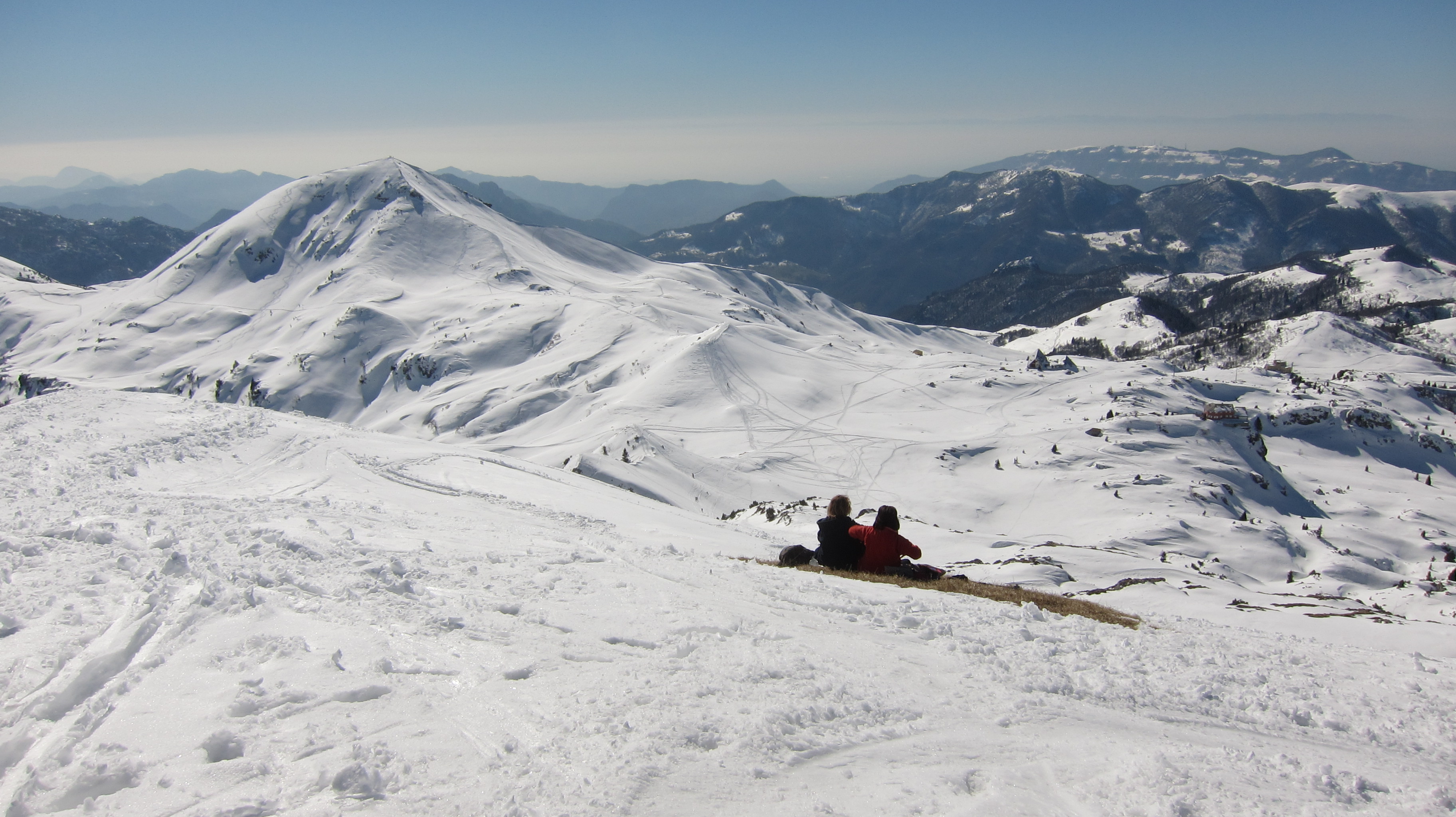
WikipediaMonte Sodadura is a mountain of Lombardy, Italy, with an elevation of 2,010 metres (6,594 ft). It is located in the Bergamasque Prealps, in the Province of Bergamo and close to the border with the Province of Lecco, between the Valsassina and the Val Taleggio. Monte Sodadura rises as a rough pyramid from the Piani di Artavaggio, a grassy plateau and former ski resort overlooking the town of Moggio. It can be reached in about an hour through hiking paths starting from the Piani, or through longer paths starting from Pizzino, in the Val Taleggio.
Best months
Hiking score 0–100 · 10-yr climate averagesRows beneath each bar: mean temperature, monthly precipitation. Highest-scoring month in red.
Neighbouring summits
| Name | Elevation | Bearing | Distance |
|---|---|---|---|
| Monte Cantarso | 1,896 m | NE 33° | 1.3 km |
| Cima di Piazzo | 2,057 m | NW 331° | 1.4 km |
| Zucco del Salto | 1,683 m | SW 227° | 1.6 km |
| Dente della Cornetta | 2,005 m | NW 333° | 1.9 km |
| La Cornetta | 2,053 m | N 338° | 2.1 km |
| Monte Aralalta | 2,003 m | E 76° | 2.4 km |