Record SL-815276 · Wikidata Q26997269
Uxatindar
No list classifications
Elevation
864
m
2,835 ft
Prominence
—
Isolation
—
Coordinates
64.0314° N,
18.4779° W
Grid ref
—
Description
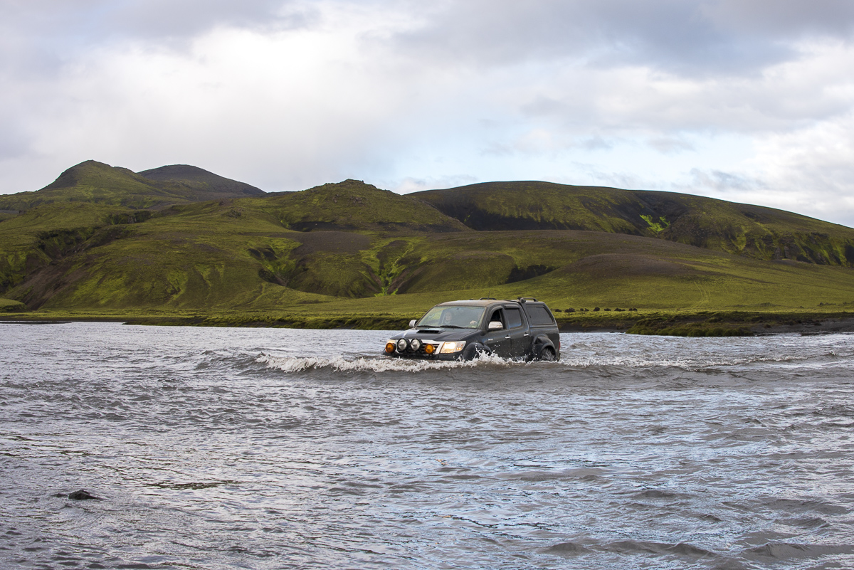
WikipediaThe Highland (Icelandic: Hálendið), also known as the Central Highland, is an area that comprises much of the interior land of Iceland. The Highland is situated above 300–400 meters (980–1,310 ft) and is mostly uninhabitable. The soil is primarily volcanic ash, and the terrain consists of basalt mountains and lava fields. Snow covers the Highland from October until the beginning of June. A few oasis-like areas, such as Herðubreiðarlindir and Þórsmörk, are also found in the Highland. The area has many notable natural features and hiking trails.
Best months
Hiking score 0–100 · 10-yr climate averagesRows beneath each bar: mean temperature, monthly precipitation. Highest-scoring month in red.
Neighbouring summits
| Name | Elevation | Bearing | Distance |
|---|---|---|---|
| Grettir | 958 m | NW 293° | 1.9 km |
| Veðurháls | 801 m | SW 241° | 4.3 km |
| Hellnafjall | 786 m | N 353° | 4.5 km |