Record SL-689144 · Wikidata Q2166121
Raunthi
No list classifications
Elevation
6,063
m
19,892 ft
Prominence
435 m
Isolation
—
Coordinates
30.3695° N,
79.7189° E
Grid ref
—
Description
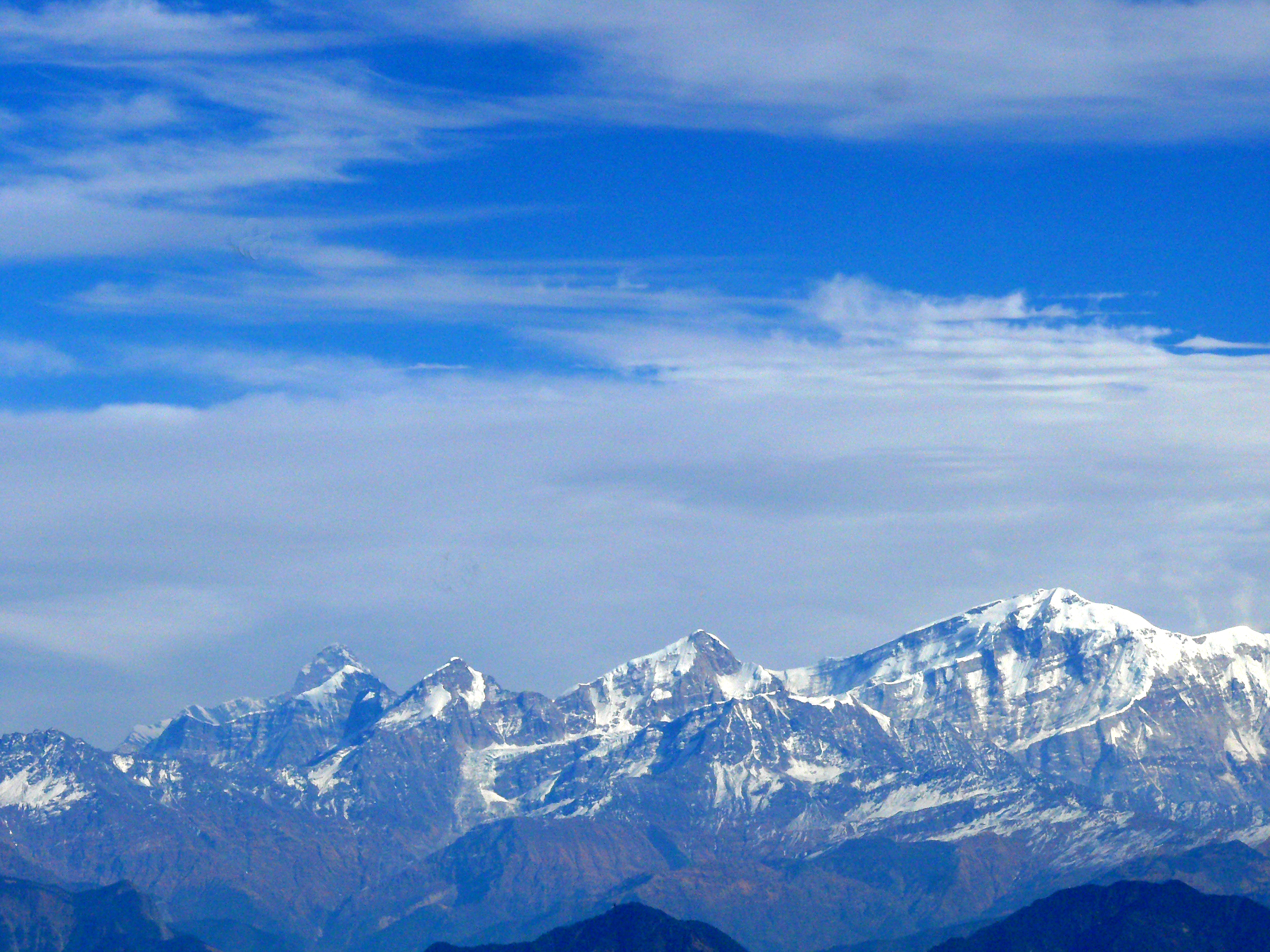
WikipediaRonti is a mountain of the Garhwal Himalaya in Uttarakhand India. It is situated on the western rim of Nanda Devi Sanctuary. The elevation of Ronti is 6,029 metres (19,780 ft) and its prominence is 435 metres (1,427 ft). It is 164th highest located entirely within the Uttrakhand. Nanda Devi, is the highest mountain in this category. It lies 2.4 km North of Nanda Ghunti 6,272 metres (20,577 ft) its nearest higher neighbor. Bethartoli 6,352 metres (20,840 ft) lies 6.6 km ENE and it is 8.4 km NNW of Trisul I 7,120 metres (23,360 ft). It lies 24.2 km west of Nanda Devi 7,816 metres (25,643 ft).
First ascent
Date
1955
Peter Aufschnaiter and George Hampson in June
Source · wikipedia
Best months
Hiking score 0–100 · 10-yr climate averagesRows beneath each bar: mean temperature, monthly precipitation. Highest-scoring month in red.
Neighbouring summits
| Name | Elevation | Bearing | Distance |
|---|---|---|---|
| Nanda Ghungti | 6,309 m | S 179° | 2.3 km |