Record SL-848102 · Wikidata Q26780729
Rataban
No list classifications
Elevation
6,166
m
20,230 ft
Prominence
—
Isolation
—
Coordinates
30.7500° N,
79.7500° E
Grid ref
—
Description
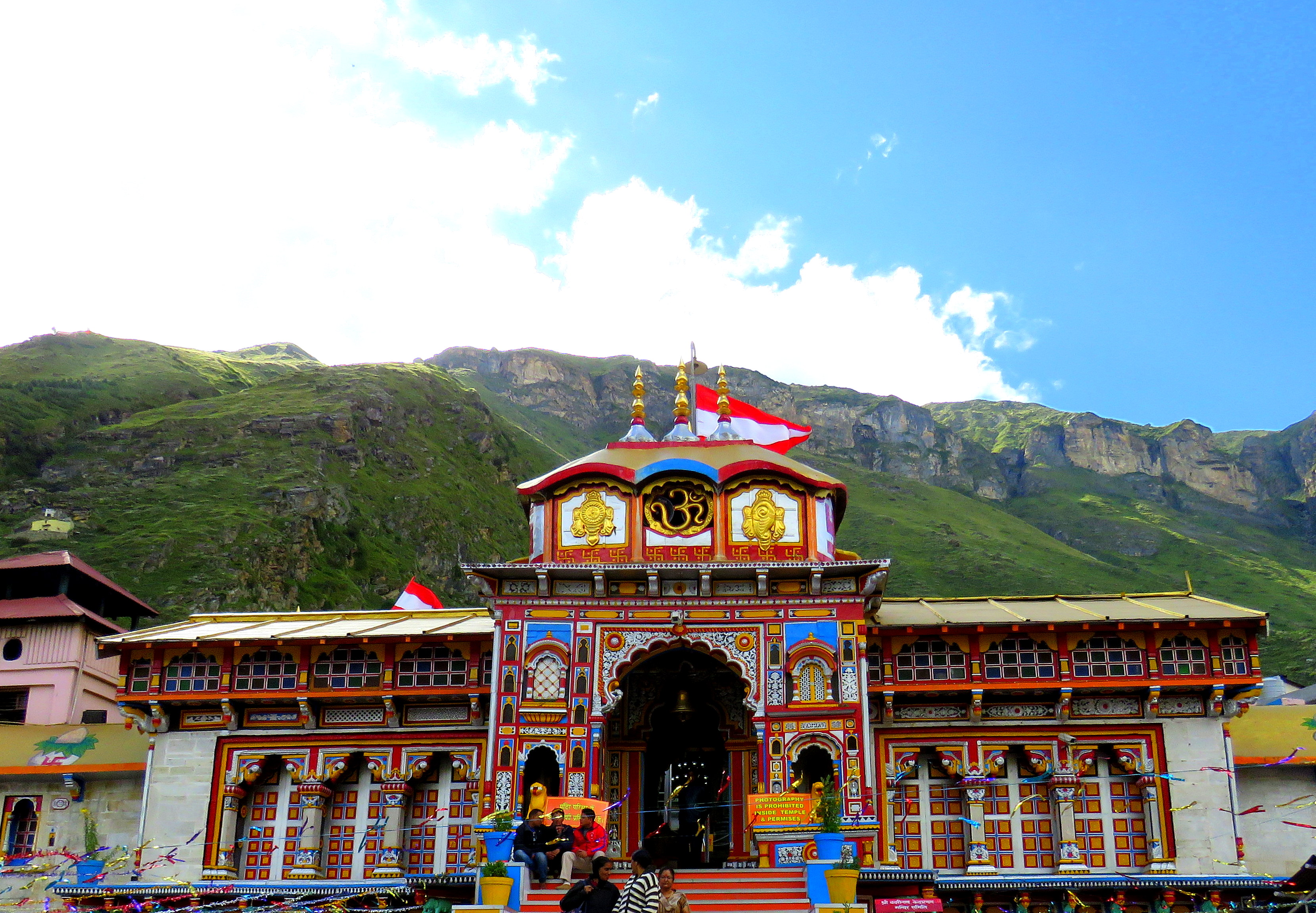
WikipediaChamoli district is a district of the Uttarakhand state of India. It is bounded by China's Xizang Autonomous Region to the north, and by the Uttarakhand districts of Pithoragarh and Bageshwar to the east, Almora to the south, Pauri Garhwal to the southwest, Rudraprayag to the west, and Uttarkashi to the northwest. The administrative headquarters of Chamoli district is in Gopeshwar. Chamoli hosts a variety of destinations of pilgrim and tourist interest including Badrinath, Hemkund Sahib and Valley of Flowers. The Chipko movement was first started in Chamoli.
Best months
Hiking score 0–100 · 10-yr climate averagesRows beneath each bar: mean temperature, monthly precipitation. Highest-scoring month in red.