Record SL-436323 · Wikidata Q7825284 · DOBIH 2267
Tor y Foel
HuMP
TuMP
Dewey
Marilyn
Elevation
551
m
1,808 ft
Prominence
157 m
Isolation
—
Coordinates
51.8670° N,
3.2874° W
Grid ref
SO114194
Description
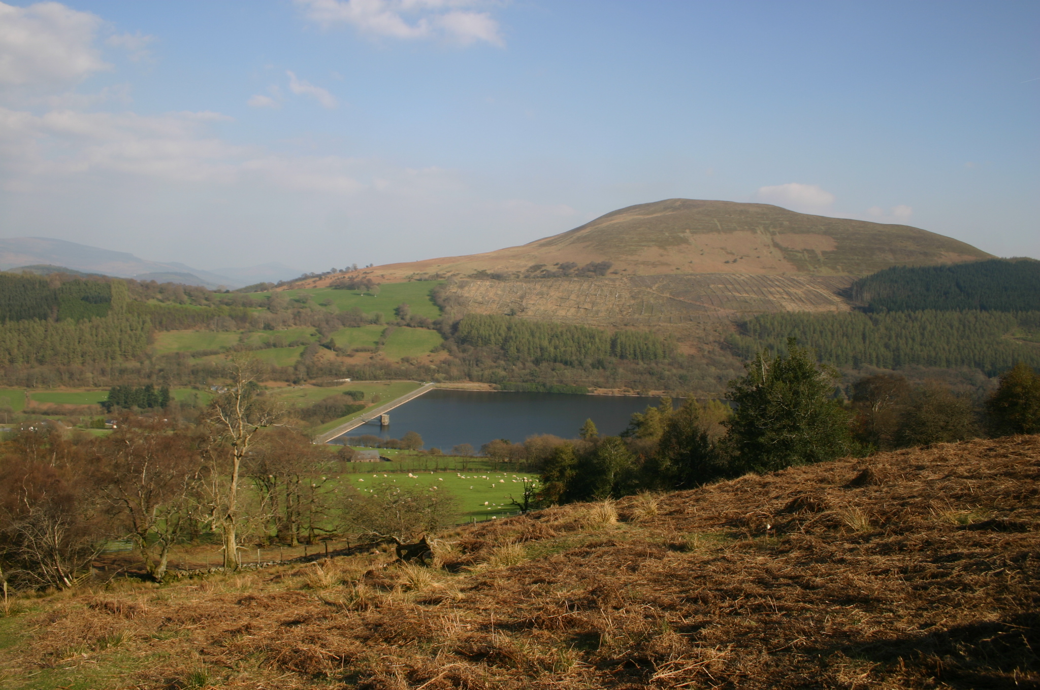
WikipediaTor y Foel is a hill in the Brecon Beacons National Park in the county of Powys in Wales. It is located on the eastern flank of Talybont Reservoir, and the summit at 551m is marked by a small cairn. It gives excellent panoramic views over the valley of the River Usk, across to the Black Mountains and west to the Brecon Beacons.
Best months
Hiking score 0–100 · 10-yr climate averagesRows beneath each bar: mean temperature, monthly precipitation. Highest-scoring month in red.
Neighbouring summits
| Name | Elevation | Bearing | Distance |
|---|---|---|---|
| Bryn Melyn | 451 m | SW 205° | 1.2 km |
| Craig Danywenallt | 356 m | N 353° | 2.0 km |
| Wenallt | 356 m | N 353° | 2.0 km |
| Pant Serthfa | 510 m | S 162° | 2.9 km |
| Buckland Hill | 316 m | NE 53° | 3.0 km |
| Carn Caws | 516 m | SE 150° | 3.1 km |