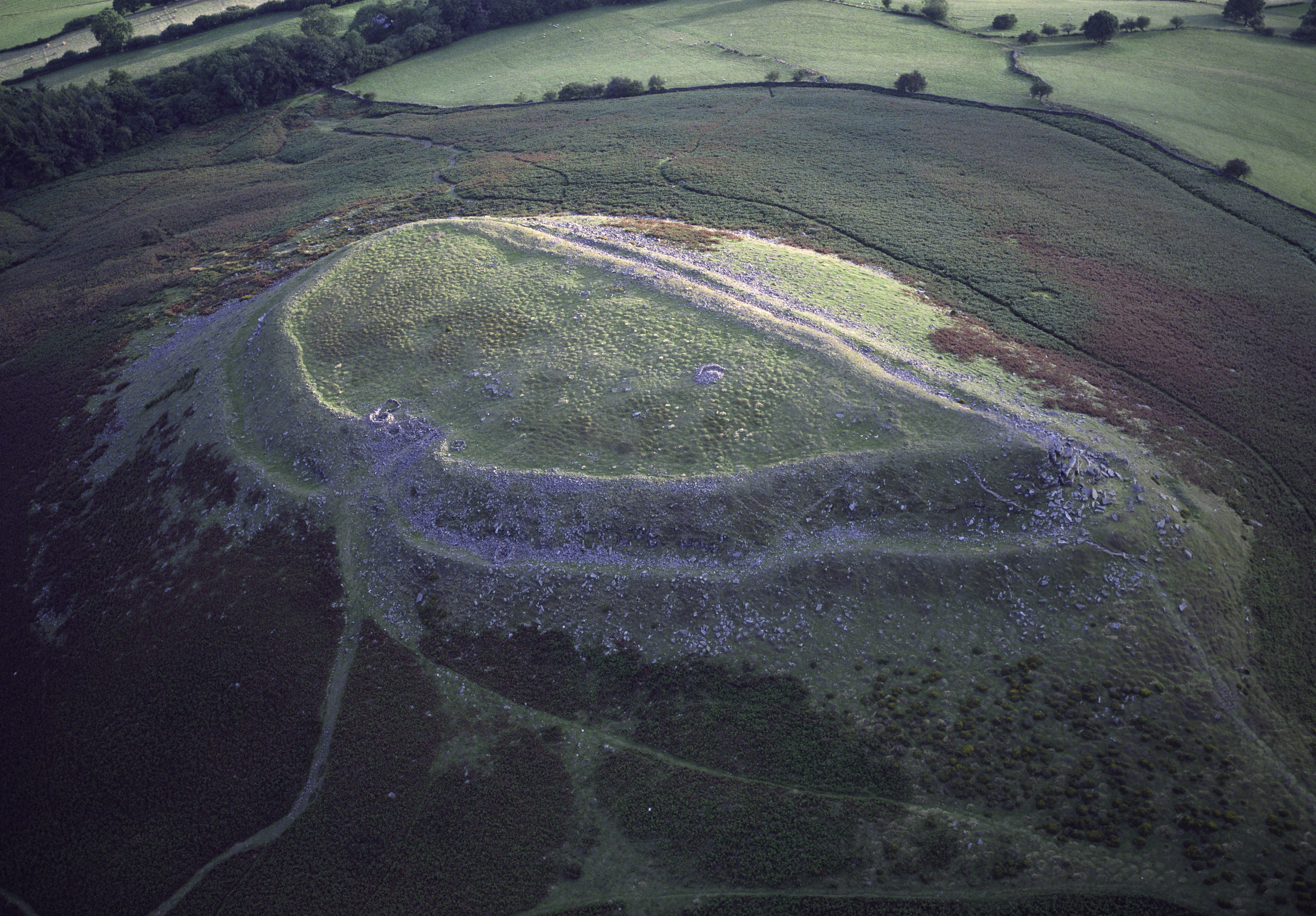
Crug Hywel is an Iron Age Celtic hillfort, with a clearly visible earth and stone ditch and rampart. Crug Hywel is approached by a couple of public footpaths across farmland from Crickhowell and Llanbedr and visited by the Beacons Way. It lies within an area designated as open country over which the public have the right to roam. The name is sometimes given to the flat-topped hill itself, which is also called Table Mountain in English. Located at the southern edge of the Black Mountains in south-east Wales, it rises to 451 m above sea level, from the southern flank of Pen Cerrig-calch (701 m), and overlooks the town of Crickhowell, whose name derives from Crug Hywel. The Welsh name Mynydd y Begwn is also used for this summit. As a result, it has been suggested that the name Crug Hywel (which means 'Hywel's mound') may originally have referred to the castle mound in Crickhowell.
Best months
Hiking score 0–100 · 10-yr climate averages
Rows beneath each bar: mean temperature, monthly precipitation. Highest-scoring month in red.