Record SL-436322 · Wikidata Q7634860 · DOBIH 2266
Sugar Loaf
Y Fal
HuMP
TuMP
Dewey
Marilyn
Elevation
596
m
1,955 ft
Prominence
411 m
Isolation
—
Coordinates
51.8627° N,
3.0579° W
Grid ref
SO272187
Description
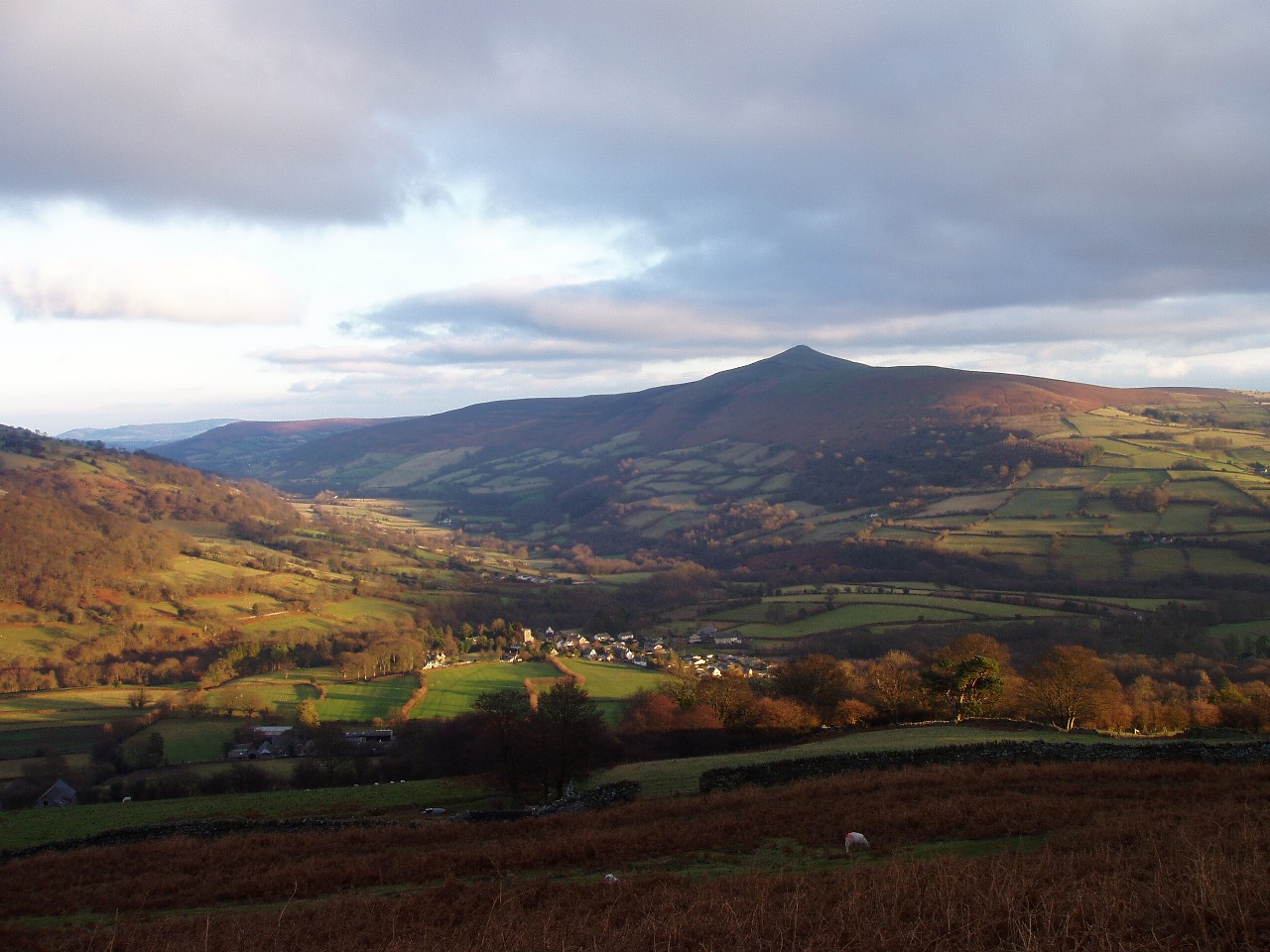
WikipediaThe Sugar Loaf (Welsh: Mynydd Pen-y-fâl) is a hill situated two miles (3.2 km) north-west of Abergavenny in Monmouthshire, Wales, within the Brecon Beacons National Park. It is the southernmost of the summit peaks of the Black Mountains, and rises to 1,955 feet (596 metres). The Sugar Loaf was gifted to the National Trust by suffragette Lady Rhondda.
Best months
Hiking score 0–100 · 10-yr climate averagesRows beneath each bar: mean temperature, monthly precipitation. Highest-scoring month in red.
Neighbouring summits
| Name | Elevation | Bearing | Distance |
|---|---|---|---|
| Mynydd Llanwenarth | 420 m | SW 220° | 1.2 km |
| Rholben | 344 m | SE 149° | 2.3 km |
| Cefn Lewis | 313 m | SW 220° | 2.4 km |
| Deri Allt | 378 m | SE 121° | 2.5 km |
| Partrishow Hill | 500 m | N 347° | 3.1 km |
| Twyn-yr-Allt | 344 m | SE 134° | 3.4 km |
Routes of ascent
| Route | Network | Distance | Difficulty |
|---|---|---|---|
| Cambrian Way | nwn | 1,499.6 km | — |