Record SL-436343 · Wikidata Q15260524 · DOBIH 2294
Mynydd y Lan
HuMP
TuMP
Marilyn
Elevation
381
m
1,251 ft
Prominence
222 m
Isolation
—
Coordinates
51.6243° N,
3.1440° W
Grid ref
ST209923
Description
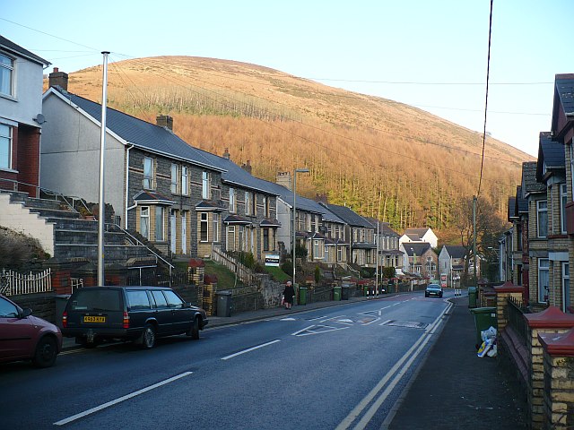
WikipediaMynydd y Lan is a 381-metre-high flat-topped hill in Caerphilly county borough in South Wales. It falls largely within the community of Ynysddu but its northern and eastern margins are within Crosskeys community. Its largely wooded southern and eastern flanks rise steeply from the Sirhowy and Ebbw valleys respectively. A wireless transmission station is situated at the northern end of the summit plateau. The name "Mynydd y Lan" literally means "mountain of the church", referring to the parish church of St Tudor, which stands on the plateau. The church site has been in use since the 5th century, with an early British structure replaced by a Norman church in the 11th century.
Best months
Hiking score 0–100 · 10-yr climate averagesRows beneath each bar: mean temperature, monthly precipitation. Highest-scoring month in red.
Neighbouring summits
| Name | Elevation | Bearing | Distance |
|---|---|---|---|
| Pen Y Trwyn | 313 m | W 252° | 1.5 km |
| Pen-rhiw Tip | 351 m | S 163° | 2.0 km |
| Medart | 388 m | E 77° | 2.4 km |
| Mynydd Machen | 363 m | SE 147° | 2.8 km |
| Machen Mountain | 362 m | SE 147° | 2.8 km |
| Twmbarlwm | 419 m | E 84° | 3.3 km |