Record SL-436319 · Wikidata Q387579 · DOBIH 2263
Mynydd Troed
HuMP
Simm
TuMP
Dewey
Marilyn
Elevation
609
m
1,998 ft
Prominence
286 m
Isolation
—
Coordinates
51.9553° N,
3.2155° W
Grid ref
SO165292
Description
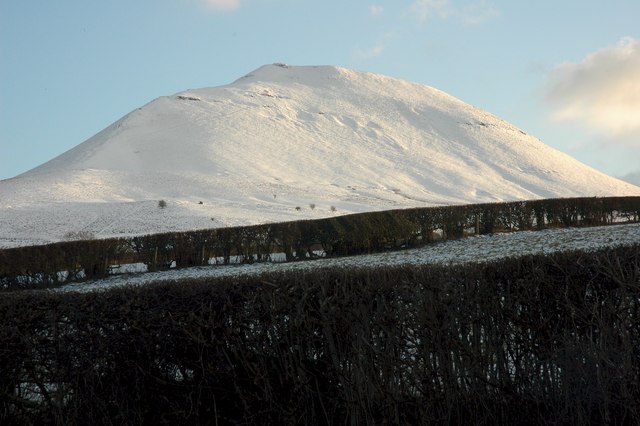
WikipediaMynydd Troed is a hill in the Black Mountains of the Brecon Beacons National Park in Powys, south Wales. Its name literally translates to "Foot Mountain," based how it appears when viewed from the Allt Mawr ridge. It lies 3 miles (4.8 km) south of Talgarth and 2 miles (3.2 km) northeast of the village of Llangors on the western side of the range. Its summit at the northern end of a northwest to southeast aligned ridge reaches 609 metres (1,998 ft) above sea level and is crowned by a trig point.
Best months
Hiking score 0–100 · 10-yr climate averagesRows beneath each bar: mean temperature, monthly precipitation. Highest-scoring month in red.
Neighbouring summits
| Name | Elevation | Bearing | Distance |
|---|---|---|---|
| Castell Dinas | 450 m | NE 55° | 1.6 km |
| Mynydd Troed South Top | 515 m | SE 141° | 2.0 km |
| Pen y Grib | 493 m | NE 53° | 2.3 km |
| Mynydd Llangorse | 515 m | S 193° | 2.6 km |
| Ffynnon Oer | 506 m | S 194° | 3.2 km |
| Pen Trumau | 707 m | E 88° | 3.8 km |