Record SL-436341 · Wikidata Q13130327 · DOBIH 2292
Mynydd Maen
Mynydd Twyn-glas
HuMP
TuMP
Marilyn
Elevation
473
m
1,552 ft
Prominence
255 m
Isolation
—
Coordinates
51.6745° N,
3.0716° W
Grid ref
ST259978
Description
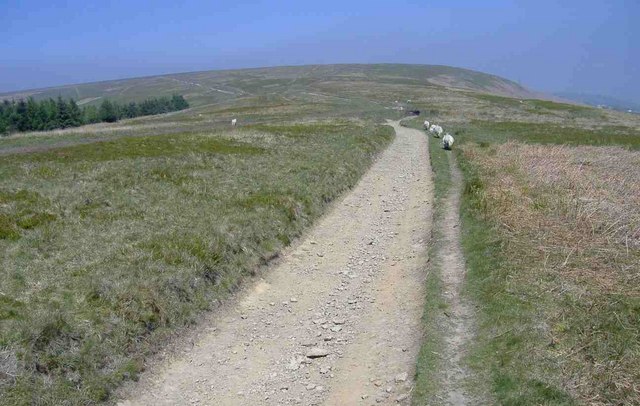
WikipediaMynydd Twyn-glas is a sprawling 472-metre-high mountain extending into Caerphilly and Torfaen county boroughs in South Wales. It lies southwest of Pontypool, west of Cwmbran and east of Newbridge, and forms a rolling plateau, the margins of which are defined by steep slopes, many cloaked with conifer plantations. A broad shoulder extending south from the summit is known as Mynydd Maen, whilst to the north is Mynydd Llwyd. The thickly afforested northern slopes of the hill drop down steeply into Cwm y Glyn.
Best months
Hiking score 0–100 · 10-yr climate averagesRows beneath each bar: mean temperature, monthly precipitation. Highest-scoring month in red.
Neighbouring summits
| Name | Elevation | Bearing | Distance |
|---|---|---|---|
| Pen Coed Parciau | 363 m | N 1° | 2.7 km |
| Blaen-y-cwm | 416 m | NW 333° | 3.7 km |