Record SL-446503 · Wikidata Q6947848
Mynydd Esgair Weddan
No list classifications
Elevation
512
m
1,680 ft
Prominence
—
Isolation
—
Coordinates
52.6075° N,
3.9531° W
Grid ref
—
Description
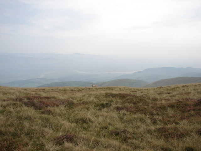
WikipediaMynydd Esgairweddan is a hill near Pennal in southern Gwynedd, Wales (grid reference SH6702). Nearby is the tiny settlement of Esgairweddan. It is very close to the site of the old Roman fort of Cefn Caer (Pennal). The area was described in the Topographical Dictionary of Wales by Samuel Lewis (published 1833) as; "A tract of hilly and rocky ground but little adapted for purposes of agriculture. The soil is thin and poor, but, in some of the lower grounds, not altogether unproductive; the declivities of the hills afford only a scanty pasturage for sheep and young cattle: peat, which forms the principal fuel of the inhabitants, is found in various parts."
Best months
Hiking score 0–100 · 10-yr climate averagesRows beneath each bar: mean temperature, monthly precipitation. Highest-scoring month in red.
Neighbouring summits
| Name | Elevation | Bearing | Distance |
|---|---|---|---|
| Tarren Rhosfarch | 545 m | NE 44° | 0.5 km |
| Ffridd Rhosfarch | 350 m | E 110° | 0.9 km |
| Gelli Graian | 542 m | W 248° | 1.1 km |
| Ffridd Esgairweddan | 326 m | SE 157° | 1.1 km |
| Tarrenhendre | 634 m | N 18° | 1.4 km |
| Braich Ddu | 308 m | S 181° | 1.7 km |