Record SL-436042 · Wikidata Q13128917 · DOBIH 1952
Gyrn Ddu
HuMP
TuMP
Dewey
Marilyn
Elevation
522
m
1,713 ft
Prominence
386 m
Isolation
—
Coordinates
52.9945° N,
4.3837° W
Grid ref
SH401467
Description
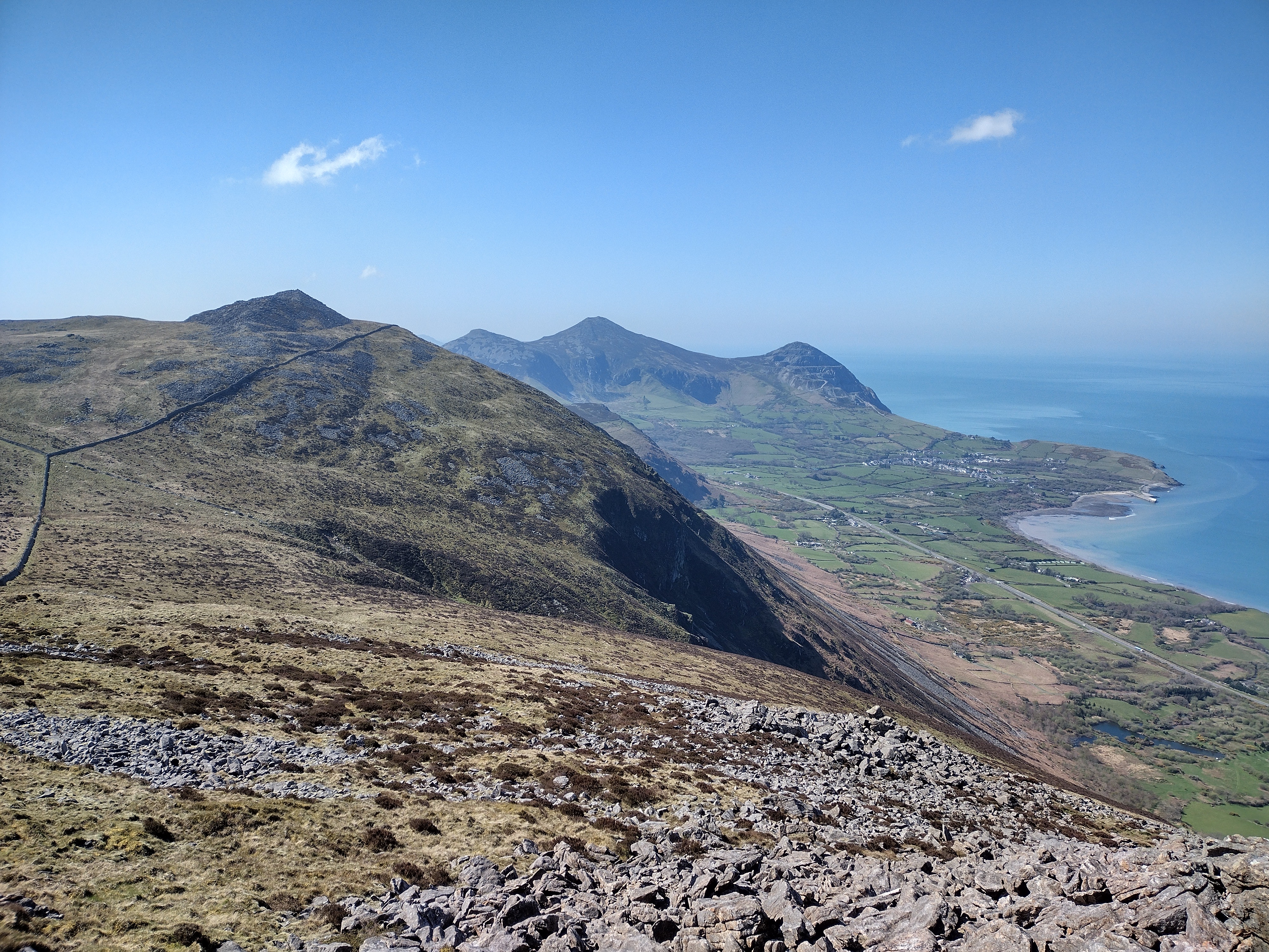
WikipediaGyrn Ddu is a hill near the northeastern corner of the Llŷn Peninsula in the community of Llanaelhaearn in the county of Gwynedd in North Wales. It forms the western half of a wider upland area, another significant top of which is the 510 m summit of Bwlch Mawr to the east. The distinct northern top of Gyrn Ddu is Gyrn Goch, which attains a height of 492 m. The summit of an eastern top which reaches 491 m is crowned by a prehistoric cairn. To the southwest of Gyrn Ddu is the lower top of Moel Pen-llechog, which reaches a height of 316 m, whilst to the south is the 416 m flat top of Moel Bronmiod.
Best months
Hiking score 0–100 · 10-yr climate averagesRows beneath each bar: mean temperature, monthly precipitation. Highest-scoring month in red.
Neighbouring summits
| Name | Elevation | Bearing | Distance |
|---|---|---|---|
| Gyrn Goch | 490 m | NE 38° | 1.0 km |
| Moel-Pen-llechog | 316 m | SW 235° | 1.4 km |
| Moel Bronmiod | 418 m | SE 136° | 1.7 km |
| Bwlch Mawr | 510 m | NE 65° | 2.8 km |
| Pen y Gaer | 389 m | E 112° | 3.0 km |
| Tre'r Ceiri | 485 m | SW 230° | 3.4 km |