Record SL-445111 · Wikidata Q5593467
Graig Syfyrddin
Marilyn
Elevation
423
m
1,388 ft
Prominence
235 m
Isolation
—
Coordinates
51.8850° N,
2.8671° W
Grid ref
—
Description
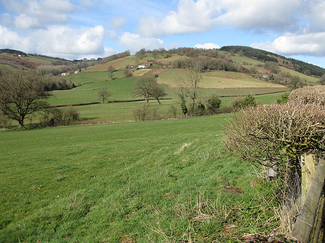
WikipediaGraig Syfyrddin or just The Graig, is a 423m high hill near Grosmont in north-eastern Monmouthshire, Wales. The summit knoll is known as Edmund's Tump. The hill consists of an isolated mass of the micaceous sandstones of the Brownstones Formation, a unit of the Old Red Sandstone well known from the nearby Black Mountains, of which it can be considered an outlier in both the geographical and geological sense. The Three Castles Walk, a waymarked recreational walk in Monmouthshire linking Grosmont Castle, White Castle (Wales) and Skenfrith Castle passes over the hill.
Best months
Hiking score 0–100 · 10-yr climate averagesRows beneath each bar: mean temperature, monthly precipitation. Highest-scoring month in red.
Neighbouring summits
| Name | Elevation | Bearing | Distance |
|---|---|---|---|
| Craig Syfyrddin - Edmund's Tump | 423 m | W 256° | 0.0 km |