Record SL-446904 · Wikidata Q8046128
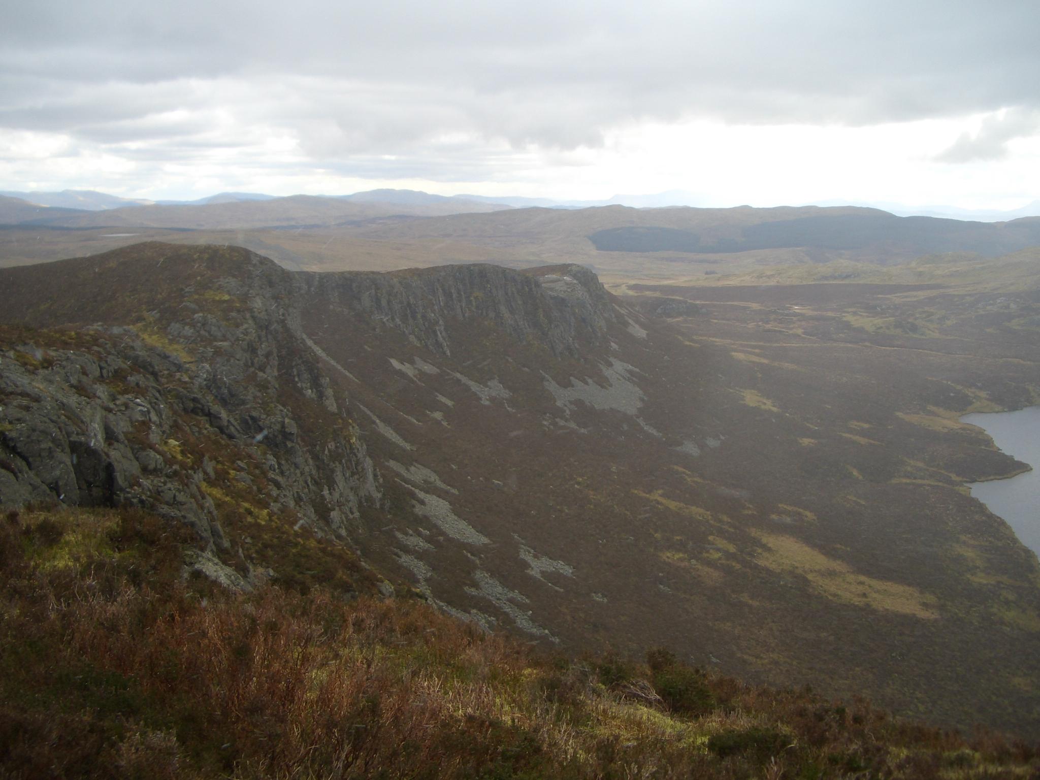
Craig Goch y Gamallt
Dewey
Elevation
588
m
1,929 ft
Prominence
122 m
Isolation
—
Coordinates
52.9846° N,
3.8611° W
Grid ref
—
Description
WikipediaY Gamallt is a mountain located in the Migneint in Snowdonia, North Wales. It forms part of the Arenig mountain range being separated from the Moelwynion range at the head of Cwm Teigl. The mountain has cliffs on its entire western side, Graig goch, dropping down to the twin lakes of Llynnau Gamallt. These cliffs are home to several rock climbs, albeit unpopular due to the quality of the rock. The summit, also known as Graig Goch, has a shelter cairn, with views of Moel Penamnen, Manod Mawr, Manod Mawr North Top, Carnedd y Filiast (Cerrigydrudion), Arenig Fach, Arenig Fawr, Moel Llyfnant, Moelwyn Bach and its close neighbours of Y Garnedd and Graig Wen.
Best months
Hiking score 0–100 · 10-yr climate averagesRows beneath each bar: mean temperature, monthly precipitation. Highest-scoring month in red.
Neighbouring summits
| Name | Elevation | Bearing | Distance |
|---|---|---|---|
| Y Gamallt | 588 m | NW 333° | 0.1 km |
| Moel Wnog | 471 m | W 249° | 1.7 km |
| Y Garnedd | 502 m | SW 210° | 1.8 km |
| Carreg y Foel-gron | 501 m | S 199° | 2.0 km |
| Moel Marchyria | 487 m | N 20° | 2.1 km |
| Cerrig y Ieirch | 511 m | S 160° | 2.3 km |