Record SL-435027 · Wikidata Q13131342 · DOBIH 763
Sgurr Mhurlagain
Corbett
HuMP
Simm
TuMP
Marilyn
Elevation
880
m
2,887 ft
Prominence
515 m
Isolation
—
Coordinates
56.9985° N,
5.2737° W
Grid ref
NN012944
Description
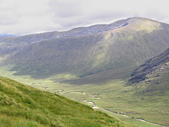
WikipediaSgùrr Mhurlagain (880 m) is a mountain in the Northwest Highlands, Scotland, west of the village of Spean Bridge in Lochaber. A large and bulky peak, it forms much of the southern wall of Glen Kingie, whereas Loch Arkaig lies to its south. Three ridges descend from its summit to the northeast.
Best months
Hiking score 0–100 · 10-yr climate averagesRows beneath each bar: mean temperature, monthly precipitation. Highest-scoring month in red.
Neighbouring summits
| Name | Elevation | Bearing | Distance |
|---|---|---|---|
| Fraoch Bheinn | 854 m | W 258° | 2.7 km |
| Mam an Doire Dhuinn | 564 m | E 69° | 3.3 km |
| Stob Coire Loch Blair | 496 m | E 99° | 3.6 km |
| Sgurr an Fhuarain | 901 m | NW 322° | 4.3 km |
| Comhnard Coire nan Geuroirean | 391 m | SE 148° | 4.6 km |