Record SL-435905 · Wikidata Q7429700 · DOBIH 1807
Scald Law
HuMP
TuMP
Marilyn
Donald Dewey
Elevation
579
m
1,900 ft
Prominence
314 m
Isolation
—
Coordinates
55.8362° N,
3.2922° W
Grid ref
NT191610
Description
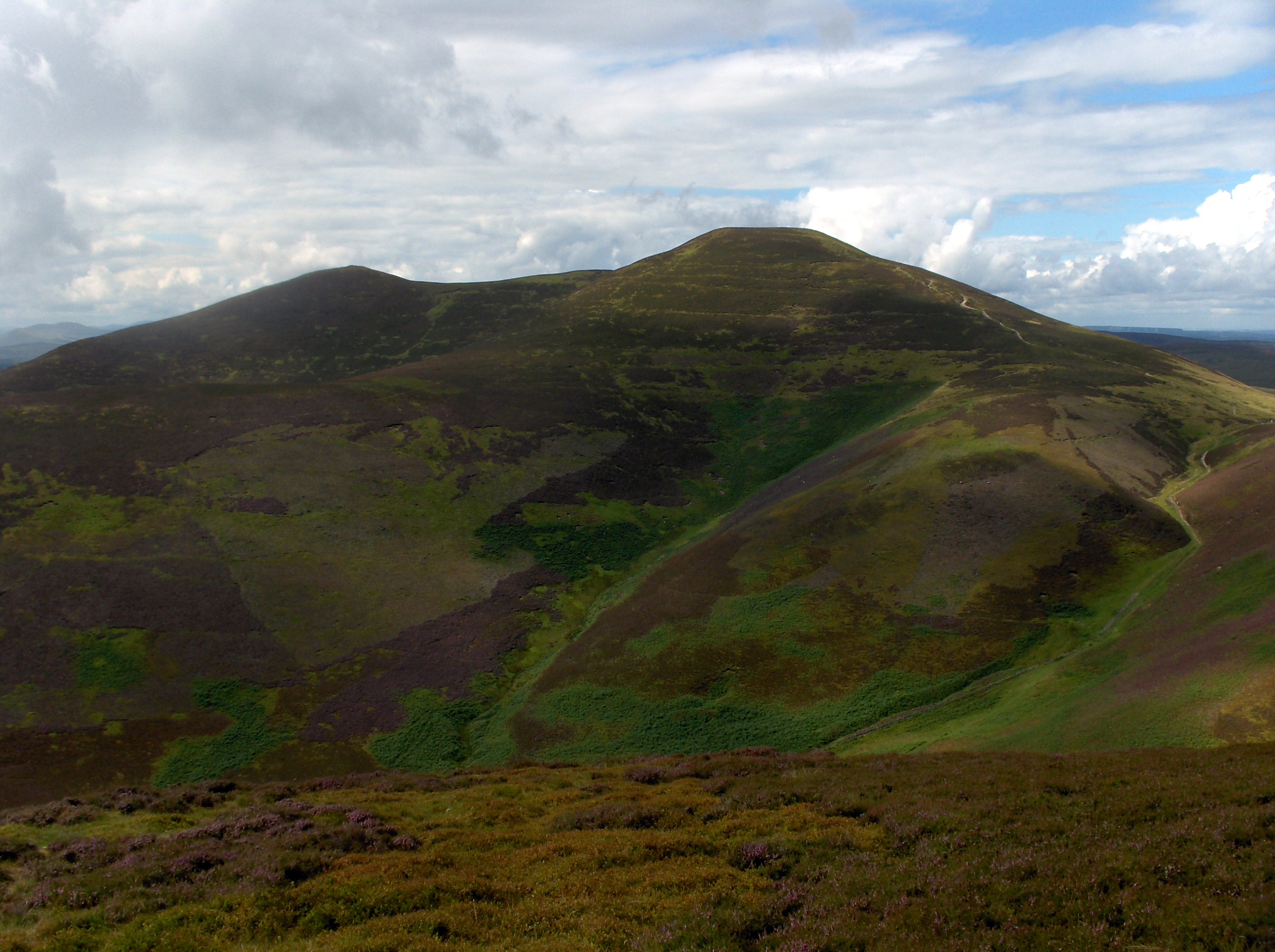
WikipediaScald Law is a hill in Midlothian, Scotland. At 579 metres (1,900 ft) it is the highest of the Pentland Hills. The hill is composed of Devonian volcanic rock.
Best months
Hiking score 0–100 · 10-yr climate averagesRows beneath each bar: mean temperature, monthly precipitation. Highest-scoring month in red.
Neighbouring summits
| Name | Elevation | Bearing | Distance |
|---|---|---|---|
| South Black Hill | 563 m | S 189° | 0.6 km |
| West Kip | 534 m | W 249° | 1.4 km |
| Carnethy Hill | 573 m | NE 54° | 1.5 km |
| Gask Hill | 412 m | N 10° | 1.9 km |
| Braid Law | 436 m | SW 206° | 1.9 km |
| Cap Law | 496 m | SW 240° | 2.0 km |
Routes of ascent
| Route | Network | Distance | Difficulty |
|---|---|---|---|
| Pentland Way (Cross Borders Drove Road to Glencorse Reservoir) | lwn | 18.1 km | — |