Rubers Law
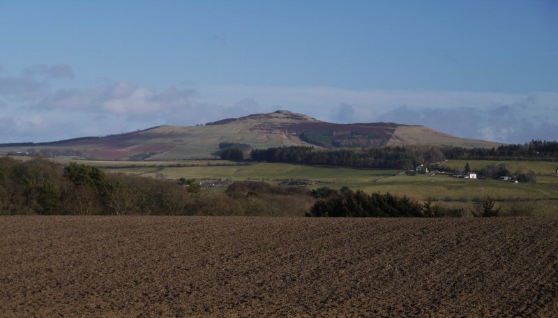
Description
WikipediaRubers Law (or locally probably more often Ruberslaw) is a prominent, conical hill in the Scottish Borders area of south-east Scotland. It stands on the south bank of the River Teviot, between the towns of Hawick and Jedburgh, and south of the village of Denholm. The hill is on the border between the historic parishes of Cavers and Hobkirk, and until 1975 it stood within the historic county of Roxburghshire. Much of the hill is agricultural land with coniferous plantations, and with rough grazing land around the top. A number of routes to the rocky summit of the hill are possible for walkers, from which there is a wide view in all directions. The summit rocks represent the remains of a volcano, formed by a volcanic eruption during the Carboniferous Period, roughly 330 million years ago. On and around the summit are the remains of several historical structures: an Iron Age hill fort, a Roman signal station, and a "nuclear fort" of the Early Middle Ages. Alexander Peden may have preached to illegal conventicles of Covenanters from a place known as "Peden's Pulpit" among the summit rocks. The poet Dr John Leyden, who was born in Denholm, climbed the hill in his youth, and described it in a poem of 1803.
Best months
Hiking score 0–100 · 10-yr climate averagesNeighbouring summits
| Name | Elevation | Bearing | Distance |
|---|---|---|---|
| Bonchester Hill | 323 m | S 159° | 4.0 km |
| Black Law | 338 m | NE 56° | 4.7 km |