Record SL-435221 · Wikidata Q13131152 · DOBIH 971
Ruadh-stac Beag
Corbett
HuMP
Simm
TuMP
Marilyn
Elevation
896
m
2,940 ft
Prominence
181 m
Isolation
—
Coordinates
57.5964° N,
5.3940° W
Grid ref
NG972613
Description
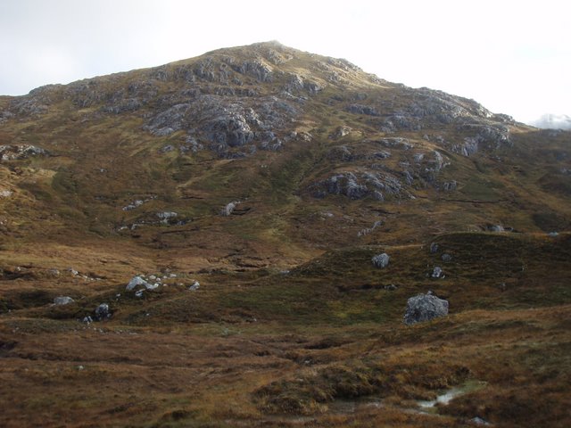
WikipediaRuadh-stac Beag (896 m) is a mountain in the Northwest Highlands of Scotland. An outlier of the Munro Beinn Eighe but a mountain in its own right, it is located in the Torridon Hills of Wester Ross. The mountain has rocky crags and steep slopes on all sides, but is usually climbed from the south. The nearest village is Kinlochewe.
Best months
Hiking score 0–100 · 10-yr climate averagesRows beneath each bar: mean temperature, monthly precipitation. Highest-scoring month in red.
Neighbouring summits
| Name | Elevation | Bearing | Distance |
|---|---|---|---|
| Sgurr Ban | 970 m | S 169° | 1.3 km |
| Creag Dhubh | 910 m | E 110° | 1.4 km |
| Sgurr nan Fhir Duibhe | 929 m | SE 143° | 1.6 km |
| Beinn Eighe - Spidean Coire nan Clach | 993 m | S 200° | 1.7 km |
| Meall a' Ghiuthais | 887 m | N 6° | 2.1 km |
| Ruadh-stac Mòr | 1,010 m | W 262° | 2.1 km |