Record SL-435745 · Wikidata Q8530064 · DOBIH 1597
Roineabhal
HuMP
TuMP
Marilyn
Elevation
460
m
1,509 ft
Prominence
406 m
Isolation
—
Coordinates
57.7666° N,
6.9754° W
Grid ref
NG042860
Description
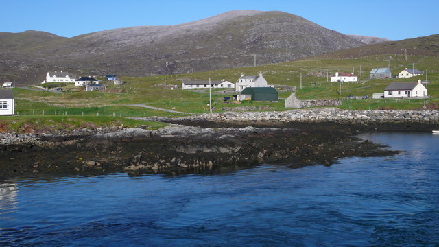
WikipediaRoineabhal is a hill in Harris, in the Western Isles of Scotland. The granite on the summit plateau of the mountain is anorthosite, and is similar in composition to rocks found in the mountains of the Moon. The area is part of the South Lewis, Harris and North Uist National Scenic Area. It is the site of the original Lingerbay 'superquarry' planning application, submitted in 1991 and finally withdrawn in 2004.
Best months
Hiking score 0–100 · 10-yr climate averagesRows beneath each bar: mean temperature, monthly precipitation. Highest-scoring month in red.
Neighbouring summits
| Name | Elevation | Bearing | Distance |
|---|---|---|---|
| Bhoiseabhal | 374 m | N 358° | 1.1 km |