Record SL-435448 · Wikidata Q20600426 · DOBIH 1219
Hartaval
Graham
HuMP
Simm
TuMP
Marilyn
Elevation
669
m
2,195 ft
Prominence
180 m
Isolation
—
Coordinates
57.5157° N,
6.2095° W
Grid ref
NG480551
Description
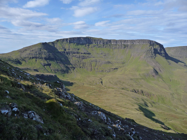
WikipediaHartaval (669 m) is a hill on the Isle of Skye. It is located on the Trotternish peninsula in the north of the isle, and is the second highest peak on Trotternish ridge after The Storr. It has a fine, steep face on its eastern side that was formed by a series of landslides.
Best months
Hiking score 0–100 · 10-yr climate averagesRows beneath each bar: mean temperature, monthly precipitation. Highest-scoring month in red.
Neighbouring summits
| Name | Elevation | Bearing | Distance |
|---|---|---|---|
| Sròn Dubh | 563 m | SW 217° | 0.9 km |
| The Storr | 491 m | SE 121° | 1.8 km |
| Upper Coire Faoin Stack | 514 m | SE 124° | 2.2 km |
| Needle Rock | 505 m | SE 113° | 2.2 km |
| The Old Boy | 512 m | SE 115° | 2.3 km |
| Coire Faoin Stack | 503 m | SE 123° | 2.3 km |
Routes of ascent
| Route | Network | Distance | Difficulty |
|---|---|---|---|
| Skye Trail - Stage 2 | rwn | 27.5 km | — |