Record SL-436001 · Wikidata Q24653258 · DOBIH 1906
Cauldcleuch Head
Donald
Graham
HuMP
Simm
TuMP
Marilyn
Elevation
619
m
2,030 ft
Prominence
256 m
Isolation
—
Coordinates
55.2972° N,
2.8574° W
Grid ref
NT456006
Description
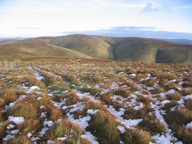
WikipediaCauldcleuch Head is a hill in an unnamed range of Roxburghshire hills north of Langholm, part of the Southern Uplands of Scotland. The highest hill in this range, it has an isolation of approximately 26 km. Parts of the Gorrenberry Jubilee Wood can be found in the Billhope glen to its southwest, where the easiest line of ascent is found.
Best months
Hiking score 0–100 · 10-yr climate averagesRows beneath each bar: mean temperature, monthly precipitation. Highest-scoring month in red.
Neighbouring summits
| Name | Elevation | Bearing | Distance |
|---|---|---|---|
| Muckle Land Knowe | 597 m | S 177° | 0.9 km |
| Skelfhill Fell | 533 m | N 348° | 1.2 km |
| Langtae Hill | 544 m | W 252° | 1.5 km |
| Little Land Knowe | 475 m | SE 153° | 1.6 km |
| Swire Knowe | 459 m | E 100° | 1.7 km |
| Pennygant Hill | 550 m | SW 205° | 1.9 km |