Record SL-434577 · Wikidata Q20581831 · DOBIH 264
Beinn Mhic Chasgaig
Corbett
HuMP
Simm
TuMP
Marilyn
Elevation
864
m
2,835 ft
Prominence
166 m
Isolation
—
Coordinates
56.6101° N,
4.8995° W
Grid ref
NN221502
Description
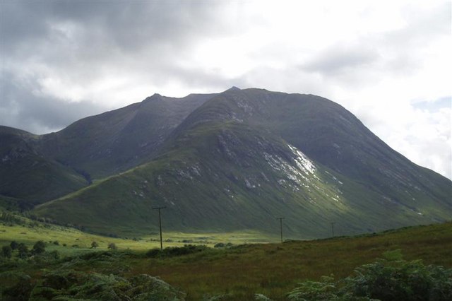
WikipediaBeinn Mhic Chasgaig (864 m) is a mountain in the Grampian Mountains of Scotland. It lies near the head of Glen Etive in Highland. A steep and craggy peak, it is surrounded by high Munros and provides a very steep and challenging climb to its summit. Climbs start from Glen Etive.
Best months
Hiking score 0–100 · 10-yr climate averagesRows beneath each bar: mean temperature, monthly precipitation. Highest-scoring month in red.
Neighbouring summits
| Name | Elevation | Bearing | Distance |
|---|---|---|---|
| Mam Coire Easain | 1,070 m | E 95° | 1.7 km |
| Creise | 1,100 m | E 74° | 1.8 km |
| Aonach Mor NW Top | 575 m | SW 241° | 2.1 km |
| Clach Leathad | 1,099 m | SE 113° | 2.1 km |
| Stob a' Ghlais Choire | 996 m | NE 50° | 2.3 km |
| Aonach Mor | 867 m | S 182° | 2.3 km |