Record SL-435971 · Wikidata Q96372074 · DOBIH 1876
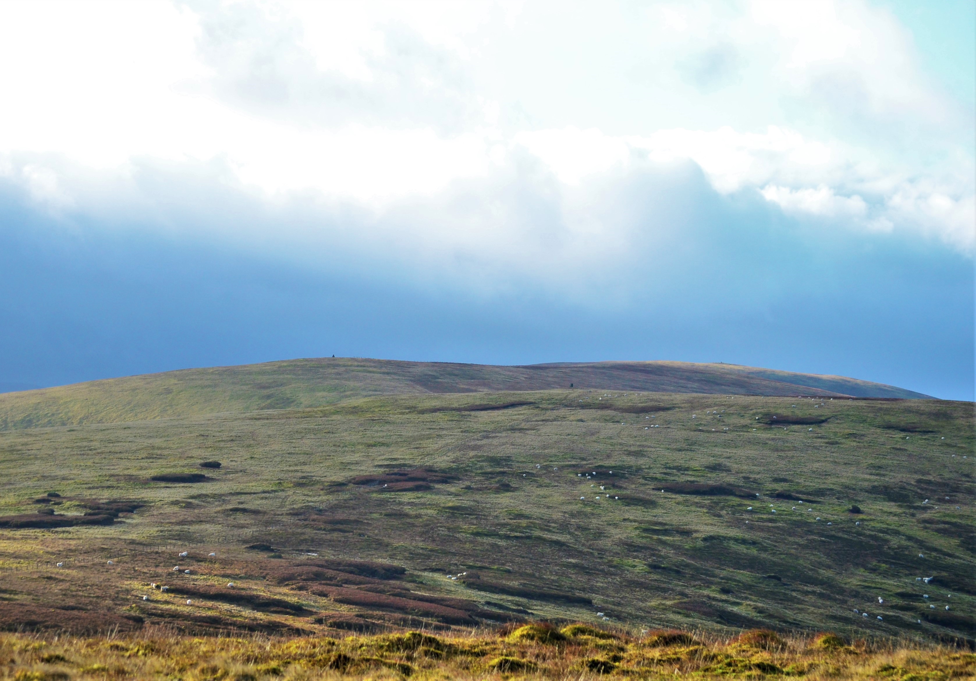
Andrewhinney Hill
Donald
Graham
HuMP
Simm
TuMP
Marilyn
Elevation
677
m
2,222 ft
Prominence
194 m
Isolation
—
Coordinates
55.4122° N,
3.2690° W
Grid ref
NT197138
Description
WikipediaAndrewhinney Hill is a hill in the Ettrick Hills range, part of the Southern Uplands of Scotland. It is the highest summit of a ridge that runs parallel to the A708 road on its southern side, with the Grey Mare's Tail in the Moffat Hills directly opposite. The northwestern slopes are designated as part of the 'Moffat Hills' SSSI and SAC.
Best months
Hiking score 0–100 · 10-yr climate averagesRows beneath each bar: mean temperature, monthly precipitation. Highest-scoring month in red.
Neighbouring summits
| Name | Elevation | Bearing | Distance |
|---|---|---|---|
| Trowgrain Middle | 629 m | NE 37° | 1.5 km |
| Bell Craig | 623 m | SW 226° | 1.5 km |
| Mid Rig | 616 m | SW 226° | 2.4 km |
| Herman Law | 614 m | NE 40° | 2.4 km |
| Upper Tarnberry | 552 m | NW 297° | 2.5 km |
| Watch Knowe | 605 m | NW 327° | 2.6 km |