Record SL-445261 · Wikidata Q14949379
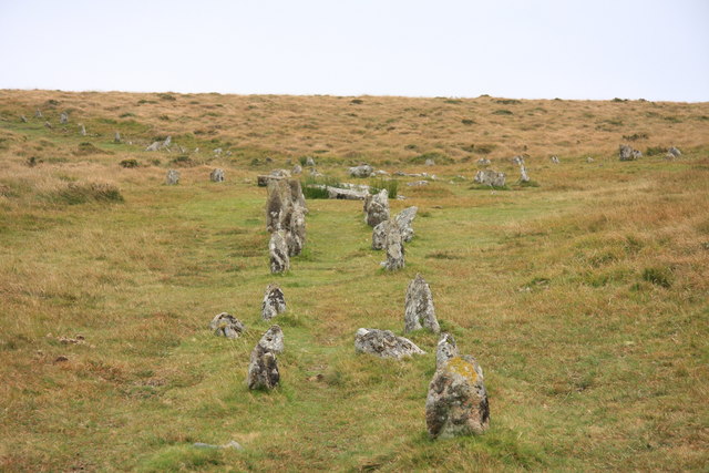
Shovel Down
No list classifications
Elevation
433
m
1,421 ft
Prominence
—
Isolation
—
Coordinates
50.6560° N,
3.9000° W
Grid ref
—
Description
WikipediaShovel Down is an area of Dartmoor in Devon that is covered in megaliths including the remains of several stone rows, the Fourfold Stone Circle, and several standing stones.
Best months
Hiking score 0–100 · 10-yr climate averagesRows beneath each bar: mean temperature, monthly precipitation. Highest-scoring month in red.
Neighbouring summits
| Name | Elevation | Bearing | Distance |
|---|---|---|---|
| Thornworthy Tor | 424 m | SE 132° | 0.9 km |
| Kestor Rocks | 437 m | NE 54° | 0.9 km |
| Middle Tor | 410 m | E 85° | 1.1 km |
| Scorhill Tor | 378 m | N 1° | 1.3 km |
| Gidleigh Tor | 334 m | NE 32° | 2.4 km |
| Manga Hill | 500 m | W 252° | 2.5 km |