Record SL-446900 · Wikidata Q15262449
Noon Hill
Marilyn
Elevation
380
m
1,247 ft
Prominence
—
Isolation
—
Coordinates
53.6303° N,
2.5354° W
Grid ref
—
Description
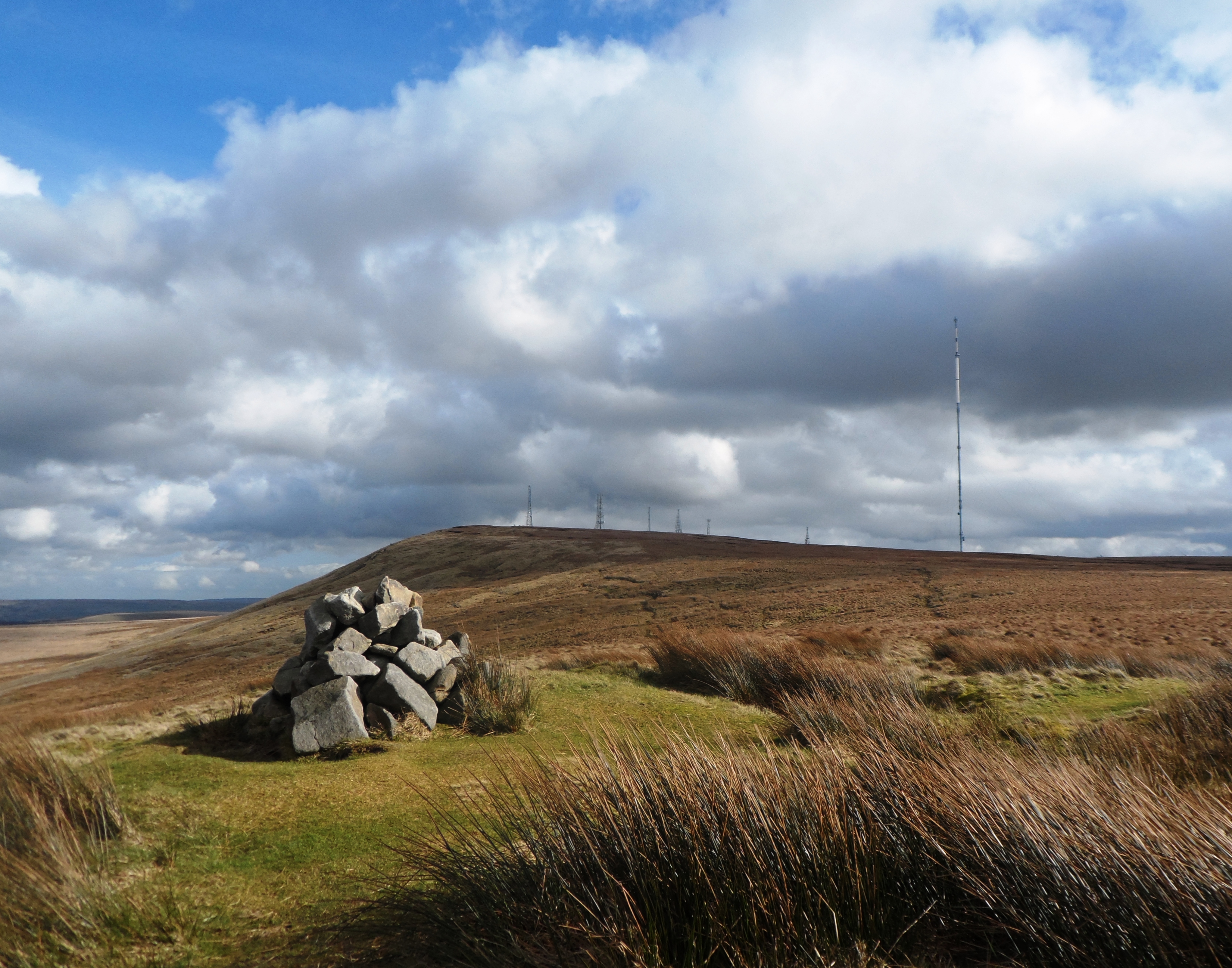
WikipediaNoon Hill is a hill on the border of the boroughs of Chorley, Blackburn with Darwen and Bolton, in North West England. It is located on Rivington Moor, Chorley and is 380 metres (1,247 ft) high. Part of the West Pennine Moors, it is a popular walking area, and is of significant historical interest. The summit of Noon Hill is home to a Bronze Age burial mound which is listed under the Ancient Monuments and Archaeological Areas Act 1979 as it appears to the Secretary of State to be of national importance.
Best months
Hiking score 0–100 · 10-yr climate averagesRows beneath each bar: mean temperature, monthly precipitation. Highest-scoring month in red.
Neighbouring summits
| Name | Elevation | Bearing | Distance |
|---|---|---|---|
| Rivington Pike | 363 m | S 198° | 1.3 km |
| Winter Hill | 449 m | E 92° | 1.3 km |
| Brown Hill | 325 m | S 188° | 1.5 km |
| Crooked Edge Hill | 375 m | S 160° | 1.6 km |
| Two Lads | 389 m | SE 153° | 1.9 km |
| Spitlers Edge | 392 m | N 15° | 2.5 km |