Record SL-436825 · Wikidata Q1744054 · DOBIH 2853
Hergest Ridge
HuMP
TuMP
Marilyn
Elevation
427
m
1,401 ft
Prominence
158 m
Isolation
—
Coordinates
52.1995° N,
3.0924° W
Grid ref
SO254562
Description
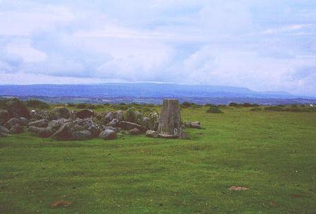
WikipediaHergest Ridge is a large elongated hill which traverses the border between England and Wales in the United Kingdom, between the town of Kington in Herefordshire and the village of Gladestry in Powys. Its highest point, which is in England, is 426 metres (1,398 ft) high. It has a topographic prominence of 157.6 metres (517 ft) and thus is listed as a Marilyn. "Hergest" is pronounced to rhyme with 'hardest' with a hard "g" (as in "garden").
Best months
Hiking score 0–100 · 10-yr climate averagesRows beneath each bar: mean temperature, monthly precipitation. Highest-scoring month in red.
Neighbouring summits
| Name | Elevation | Bearing | Distance |
|---|---|---|---|
| Hanter Hill | 414 m | N 344° | 0.8 km |
| Weythel Common | 346 m | W 279° | 1.6 km |
| Worsell Wood | 303 m | N 14° | 1.6 km |
| Old Radnor Hill | 303 m | N 355° | 2.8 km |
| Stanner Hill | 349 m | NE 23° | 3.0 km |
| Gobe | 326 m | SW 239° | 3.1 km |