Record SL-436809 · Wikidata Q5185741 · DOBIH 2831
Cringle Moor - Drake Howe
HuMP
TuMP
Marilyn
Elevation
435
m
1,426 ft
Prominence
176 m
Isolation
—
Coordinates
54.4187° N,
1.1721° W
Grid ref
NZ538028
Description
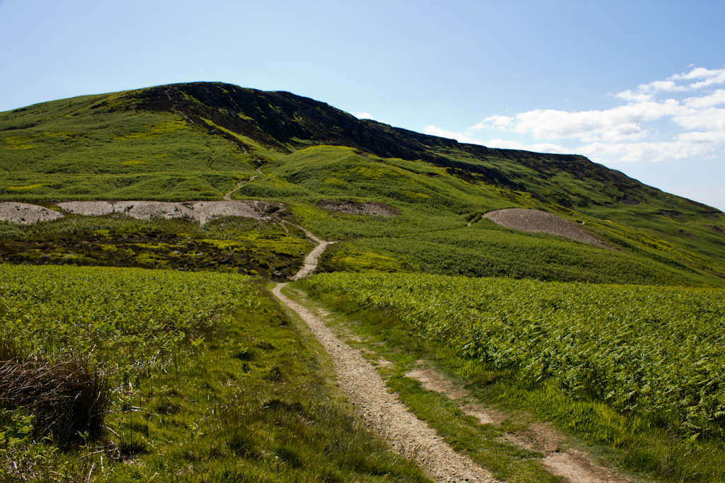
WikipediaCringle Moor (also known as Cranimoor), at 432 m (1,417 ft), is the third-highest hill in the North York Moors, England, and the highest point west of Clay Bank. The hill is crossed by the Cleveland Way National Trail and is a part of Alfred Wainwright's Coast to Coast Walk, which also passes over the neighbouring tops of Cold Moor, Carlton Moor, Live Moor and Hasty Bank — a section of the walk which Wainwright described as "one of the finest". It is also part of the Lyke Wake Walk. Just to the west of the summit is the burial mound of 'Drake Howe (Howe is an Old Norse word meaning "burial mound"). This Bronze Age burial mound is now a scheduled ancient monument.
Best months
Hiking score 0–100 · 10-yr climate averagesRows beneath each bar: mean temperature, monthly precipitation. Highest-scoring month in red.
Neighbouring summits
| Name | Elevation | Bearing | Distance |
|---|---|---|---|
| Cold Moor | 402 m | NE 66° | 1.4 km |
| Green Bank | 301 m | W 285° | 1.4 km |
| Wath Hill | 308 m | S 192° | 1.7 km |
| Carlton Moor | 408 m | W 261° | 1.9 km |
| Carlton Bank | 408 m | W 261° | 1.9 km |
| White Hill | 398 m | E 74° | 2.8 km |