Record SL-436783 · Wikidata Q4831117 · DOBIH 2802
Aye Gill Pike
HuMP
TuMP
Dewey
Marilyn
Elevation
556
m
1,825 ft
Prominence
167 m
Isolation
—
Coordinates
54.2924° N,
2.4306° W
Grid ref
SD720886
Description
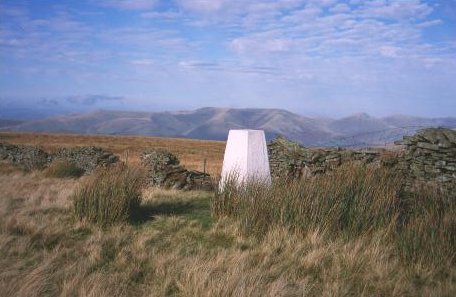
WikipediaAye Gill Pike is a Marilyn in the Yorkshire Dales, the highest point of the ridge of Rise Hill between Dentdale and Garsdale in Cumbria, England.
Best months
Hiking score 0–100 · 10-yr climate averagesRows beneath each bar: mean temperature, monthly precipitation. Highest-scoring month in red.
Neighbouring summits
| Name | Elevation | Bearing | Distance |
|---|---|---|---|
| Snaizwold Fell | 477 m | E 91° | 3.0 km |
| Knoutberry Haw | 676 m | N 18° | 3.5 km |
| Baugh Fell - Tarn Rigg Hill | 678 m | NE 33° | 3.6 km |
| Tarn Rigg Hill | 678 m | NE 33° | 3.6 km |
| Helms Knott | 303 m | W 284° | 3.9 km |
| Combe Top | 565 m | W 252° | 4.8 km |