Record SL-451772 · Wikidata Q765829
Soum d'Ypy
No list classifications
Elevation
1,743
m
5,719 ft
Prominence
—
Isolation
—
Coordinates
42.9232° N,
0.5487° W
Grid ref
—
Description
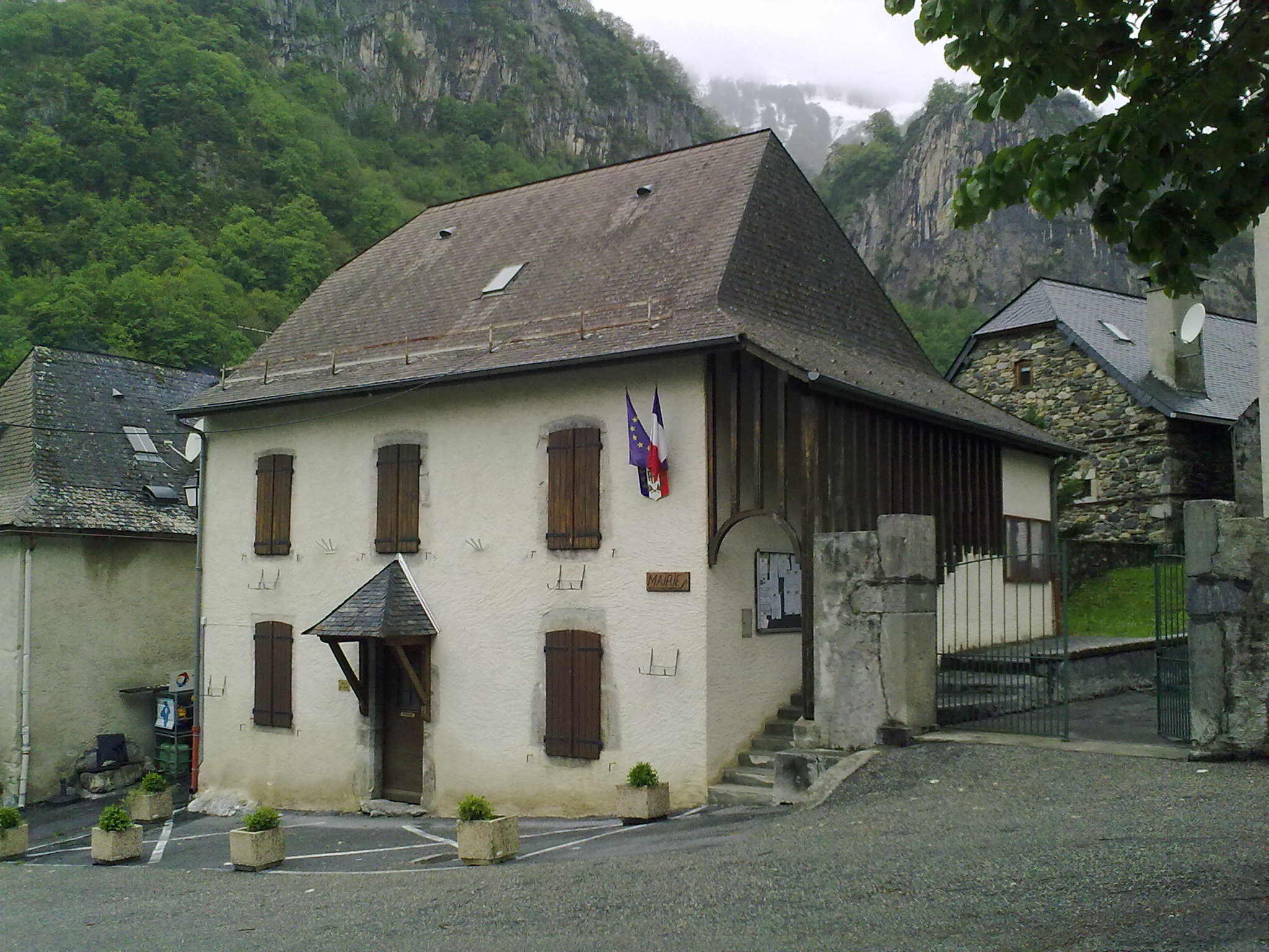
WikipediaEtsaut (French pronunciation: [ɛtsot]; Occitan: Eth Saut) is a commune in the Pyrénées-Atlantiques department in south-western France. Its station on the Pau–Canfranc railway was closed after an accident in 1970.
Best months
Hiking score 0–100 · 10-yr climate averagesRows beneath each bar: mean temperature, monthly precipitation. Highest-scoring month in red.
Neighbouring summits
| Name | Elevation | Bearing | Distance |
|---|---|---|---|
| Pic d'Aygarry | 2,099 m | NE 66° | 1.5 km |
| Pic d'Anchet | 1,980 m | N 10° | 2.3 km |
| Ronglet | 2,180 m | NE 39° | 2.5 km |
| Pic Hia d'Anchet | 1,787 m | N 347° | 2.8 km |
| Lespetouse | 2,376 m | SE 119° | 2.8 km |
| Pic Permayou | 2,344 m | NE 59° | 2.9 km |