Record SL-460115 · Wikidata Q2827899
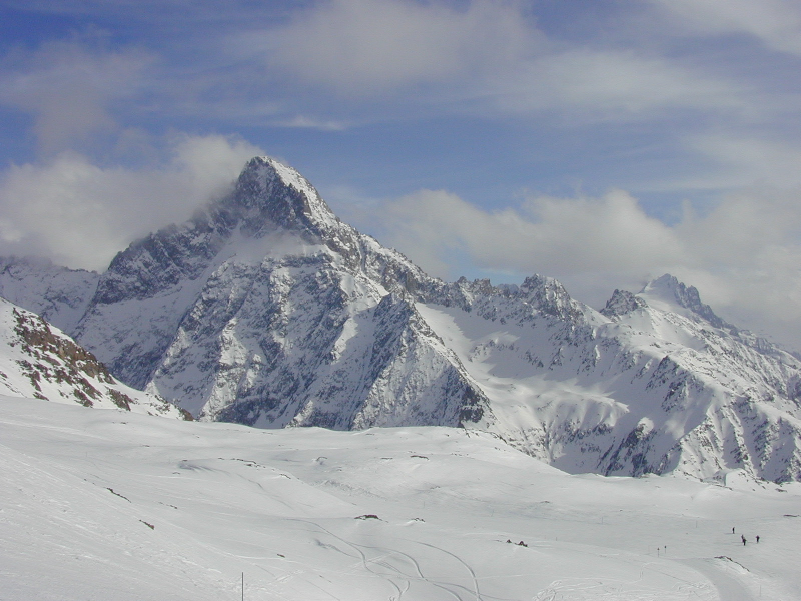
Aiguille du Plat de la Selle
No list classifications
Elevation
3,595
m
11,795 ft
Prominence
423 m
Isolation
—
Coordinates
44.9645° N,
6.2230° E
Grid ref
—
Description
WikipediaThe Aiguille du Plat de la Selle, 3,596 m, is a mountain of the Massif des Écrins in the Dauphiné Alps in south-eastern France. Ascents of the mountain are via Saint-Christophe-en-Oisans or the Soreiller hut.
First ascent
Date
28 Jun 1876
Henri Cordier, Jakob Anderegg, and Andreas Maurer
Source · wikipedia
Best months
Hiking score 0–100 · 10-yr climate averagesRows beneath each bar: mean temperature, monthly precipitation. Highest-scoring month in red.
Neighbouring summits
| Name | Elevation | Bearing | Distance |
|---|---|---|---|
| Pointes de Burlan | 3,299 m | NE 63° | 1.0 km |
| Tête du Graou | 3,168 m | SW 216° | 1.1 km |
| Aiguille Occidentale du Soreiller | 3,208 m | E 79° | 1.2 km |
| Clochetons Gunneng | 3,108 m | E 93° | 1.6 km |
| Aiguille Dibona | 3,131 m | E 95° | 1.6 km |
| Tête de la Marsare | 3,118 m | SW 204° | 1.6 km |