Record SL-558092 · Wikidata Q2082041
Pfaffenberg
No list classifications
Elevation
480
m
1,573 ft
Prominence
—
Isolation
—
Coordinates
50.8120° N,
12.7233° E
Grid ref
—
Description
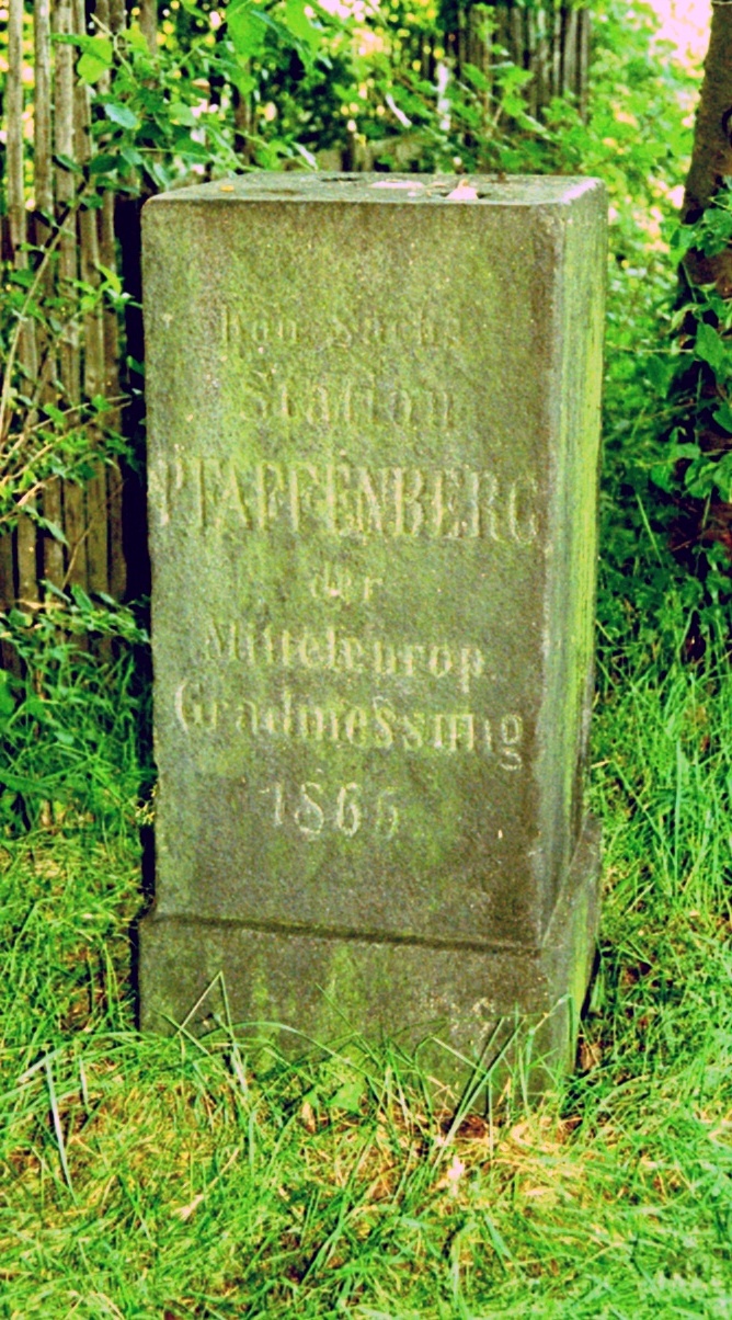
WikipediaPfaffenberg is a mountain in Hohenstein-Ernstthal in the state of Saxony, southeastern Germany. It is part of the Saxon Uplands. In 1911 a mountain inn was built on Pfaffenberg by the Ore Mountain Club, however in 2014 it was temporarily closed for renovations and has yet to fully reopen. In the 1860s, the Royal Saxon Triangulation operated station number 16 on the Pfaffenberg. The triangulation point is still visible.
Best months
Hiking score 0–100 · 10-yr climate averagesRows beneath each bar: mean temperature, monthly precipitation. Highest-scoring month in red.
Neighbouring summits
| Name | Elevation | Bearing | Distance |
|---|---|---|---|
| Zechenberg | 454 m | S 172° | 0.4 km |
| Langenberger Höhe | 484 m | N 342° | 1.1 km |
| Knochen | 381 m | SE 123° | 1.7 km |
| Heidelberg | 451 m | E 90° | 1.9 km |
| Steinberg | 401 m | NW 294° | 2.3 km |
| Steinberg | 381 m | SE 125° | 2.4 km |