Description
Wikipedia
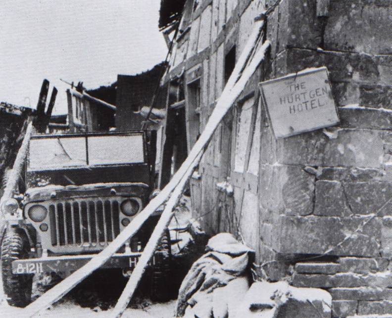
The Battle of Hürtgen Forest (German: Schlacht im Hürtgenwald) was a series of battles fought from 19 September to 16 December 1944, between American and German forces on the Western Front during World War II, in the Hürtgen Forest, a 140 km2 (54 mi2) area about 5 km (3.1 mi) east of the Belgian–German border. Lasting 88 days, it was the longest battle on German ground during World War II and it is the second longest single battle the U.S. Army has ever fought after the three-month-long Battle of Bataan. The U.S. commanders' initial goal was to pin down German forces in the area to keep them from reinforcing the front lines farther north in the Battle of Aachen, where the US forces were fighting against the Siegfried Line network of fortified industrial towns and villages speckled with pillboxes, tank traps, and minefields. The Americans' initial tactical objectives were to take the village of Schmidt and clear Monschau. In a second phase the Allies wanted to advance to the Rur River as part of Operation Queen. Generalfeldmarschall Walter Model intended to bring the Allied thrust to a standstill. While he interfered less in the day-to-day movements of units than at the Battle of Arnhem, he still kept himself fully informed on the situation, slowing the Allies' progress, inflicting heavy casualties, and taking full advantage of the fortifications the Germans called the Westwall, and which the Allies knew as the Siegfried Line. The Hürtgen Forest cost the U.S. First Army at least 33,000 killed and wounded, including both combat and non-combat losses, with upper estimates at 55,000; German casualties were 28,000. The city of Aachen in the north eventually fell on 22 October at high cost to the U.S. Ninth Army, but they failed to cross the Rur river or wrest control of its dams from the Germans. The battle was so costly that it has been described as an Allied "defeat of the first magnitude," with specific credit given to Model.