Record SL-689900 · Wikidata Q11064483
Miu Tsai Tun
廟仔墩
No list classifications
Elevation
333
m
1,093 ft
Prominence
—
Isolation
—
Coordinates
22.2992° N,
114.2827° E
Grid ref
—
Description
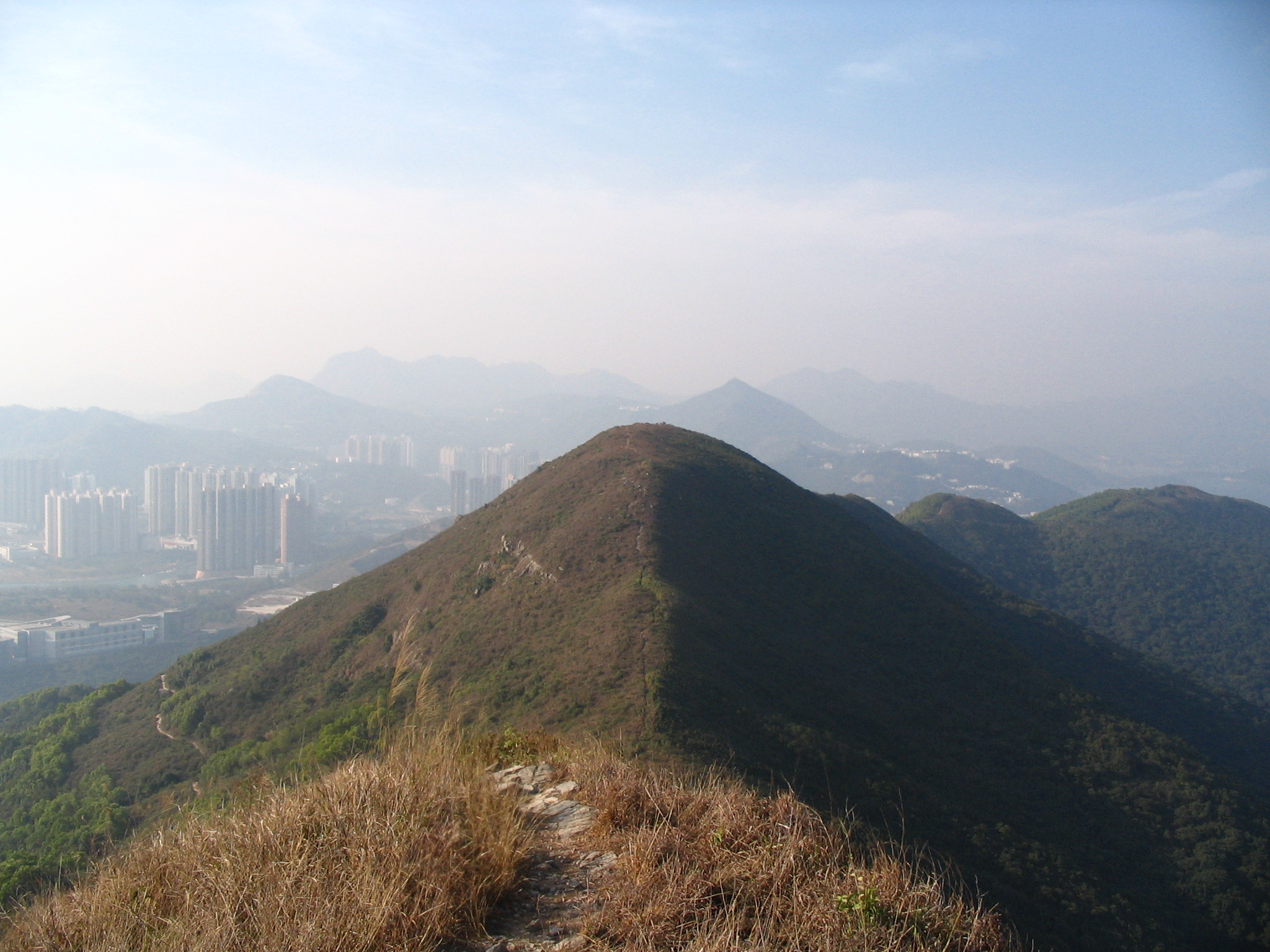
WikipediaMiu Tsai Tun (Chinese: 廟仔墩) is a mountain that lies within Clear Water Bay Country Park, Hong Kong. Its name in Chinese means "Small Temple Mound" because there is a small temple on the northeast side of the mountain.
Best months
Hiking score 0–100 · 10-yr climate averagesRows beneath each bar: mean temperature, monthly precipitation. Highest-scoring month in red.
Neighbouring summits
| Name | Elevation | Bearing | Distance |
|---|---|---|---|
| High Junk Peak | 344 m | SE 140° | 0.5 km |
| Black Hill | 304 m | W 287° | 4.1 km |