Record SL-676488 · Wikidata Q22479222
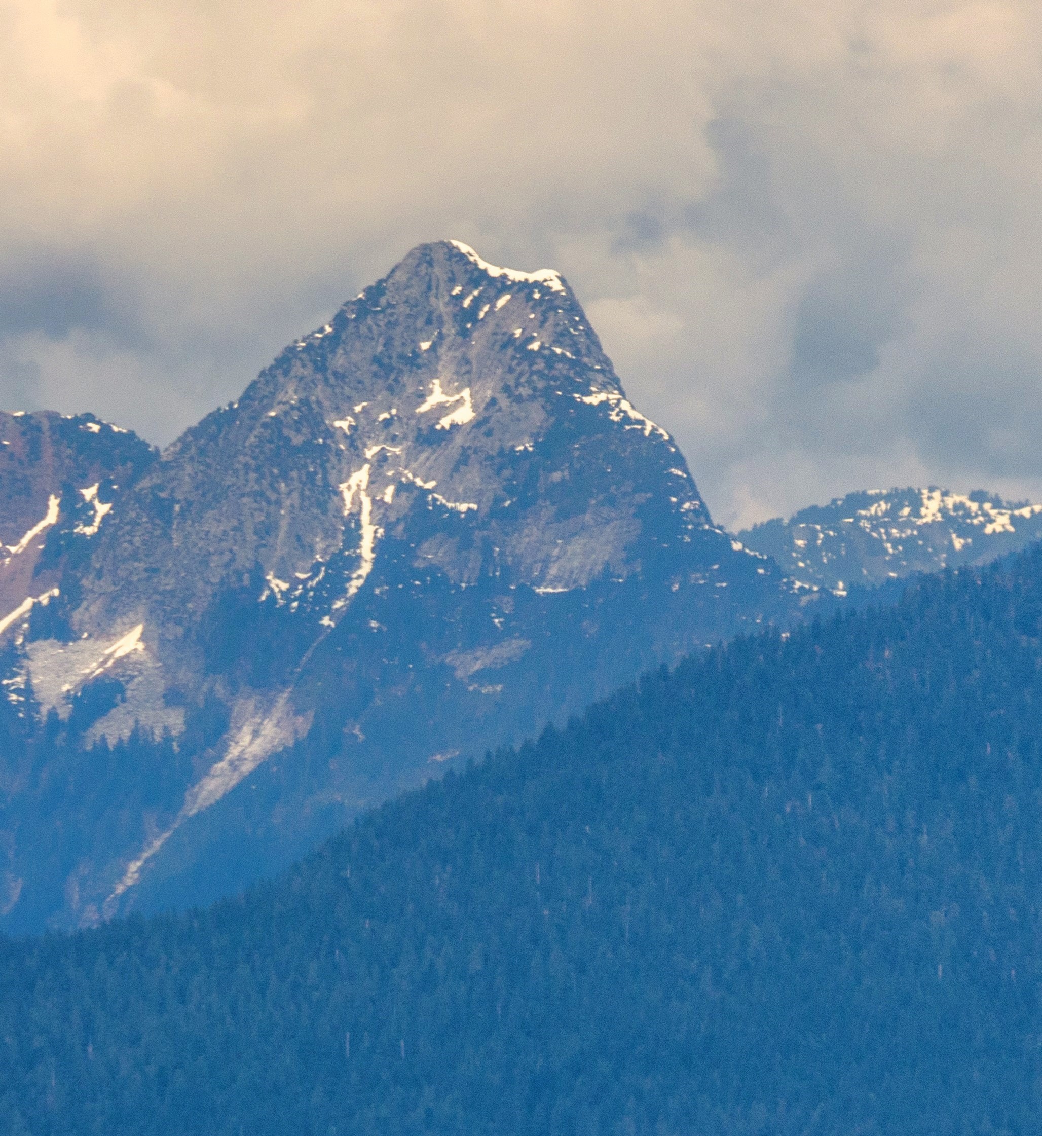
Tetrahedron Peak
No list classifications
Elevation
1,739
m
5,705 ft
Prominence
1,164 m
Isolation
—
Coordinates
49.6078° N,
123.5671° W
Grid ref
—
Description
WikipediaTetrahedron Peak is a mountain in British Columbia, Canada. One of the highest peaks on the Sunshine Coast, it rises to an elevation of 1739 metres (5705 ft), with a prominence of 1164 metres (3819 ft). It is located in the Tetrahedron Provincial Park. The name of the peak describes the shape of the mountain, which has four faces, and was proposed by Bill Mathews, a University of British Columbia geology professor who climbed the mountain in the 1950s.
Best months
Hiking score 0–100 · 10-yr climate averagesRows beneath each bar: mean temperature, monthly precipitation. Highest-scoring month in red.
Neighbouring summits
| Name | Elevation | Bearing | Distance |
|---|---|---|---|
| Mobius Peak | 1,659 m | SW 207° | 1.1 km |
| Rainy Mountain | 1,664 m | E 87° | 1.5 km |
| Torus Peak | 1,558 m | N 15° | 2.0 km |
| Raven Dance Peak | 1,640 m | W 269° | 2.3 km |
| Euclid Peak | 1,326 m | NE 39° | 2.6 km |
| Mount Steele | 1,659 m | W 264° | 2.7 km |