Record SL-675987 · Wikidata Q7455395
Serratus Mountain
No list classifications
Elevation
2,321
m
7,615 ft
Prominence
291 m
Isolation
—
Coordinates
49.7928° N,
123.3020° W
Grid ref
—
Description
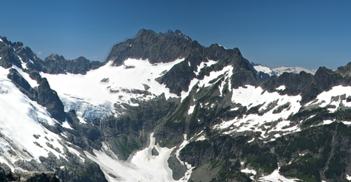
WikipediaSerratus Mountain is a jagged, ridge-like mountain between Mount Tantalus (North) and Lake Lovely Water (South). Like most other peaks in the Tantalus Range, it is composed of loose rock. Most routes here are scrambles. The mountain is a standard single-day destination from the Jim Haberl hut.
First ascent
Date
1911
Source · wikipedia
Best months
Hiking score 0–100 · 10-yr climate averagesRows beneath each bar: mean temperature, monthly precipitation. Highest-scoring month in red.
Neighbouring summits
| Name | Elevation | Bearing | Distance |
|---|---|---|---|
| Ionia Mountain | 2,137 m | S 197° | 1.0 km |
| Mount Pandareus | 2,099 m | S 173° | 1.4 km |
| Gendarme | 2,162 m | E 76° | 1.8 km |
| The Red Tusk | 2,147 m | S 176° | 1.9 km |
| Alpha Mountain | 2,302 m | E 81° | 1.9 km |
| Lydia Mountain | 2,105 m | S 163° | 2.0 km |