Mount Tzouhalem
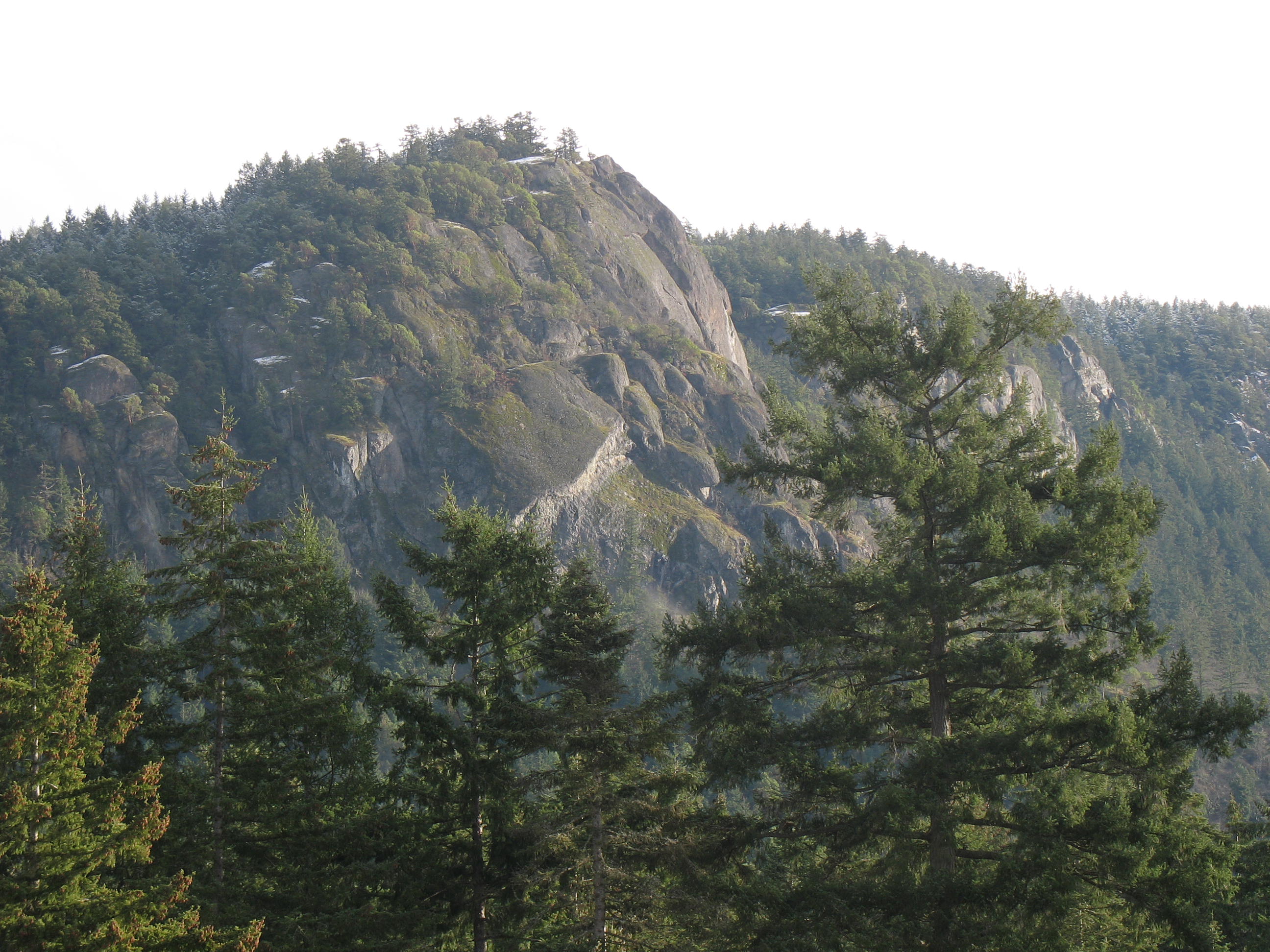
Description
WikipediaMount Tzouhalem is a mountain on Vancouver Island, British Columbia, Canada, 4 kilometres east-northeast of Duncan in the municipality of North Cowichan. It is situated between Quamichan Lake, Maple Bay and Cowichan Bay. The mountain is part of the municipal forest lands. Part of the mountain is an 18-hectare ecological reserve. It is popular with hikers and mountain bikers. It gives views towards Saltspring Island, the Coastal Mountains of the Lower Mainland and, on a clear day, Mount Baker in Washington state. There was a large Christian cross on one cliffside. The original wooden cross, placed by local Catholic churches in the 1970s, was replaced by the Knights of Columbus with a welded version in the late 1980s. In the night from July 16th to July 17th 2021, unknown individuals removed the cross for unknown reasons.