Mount Topham
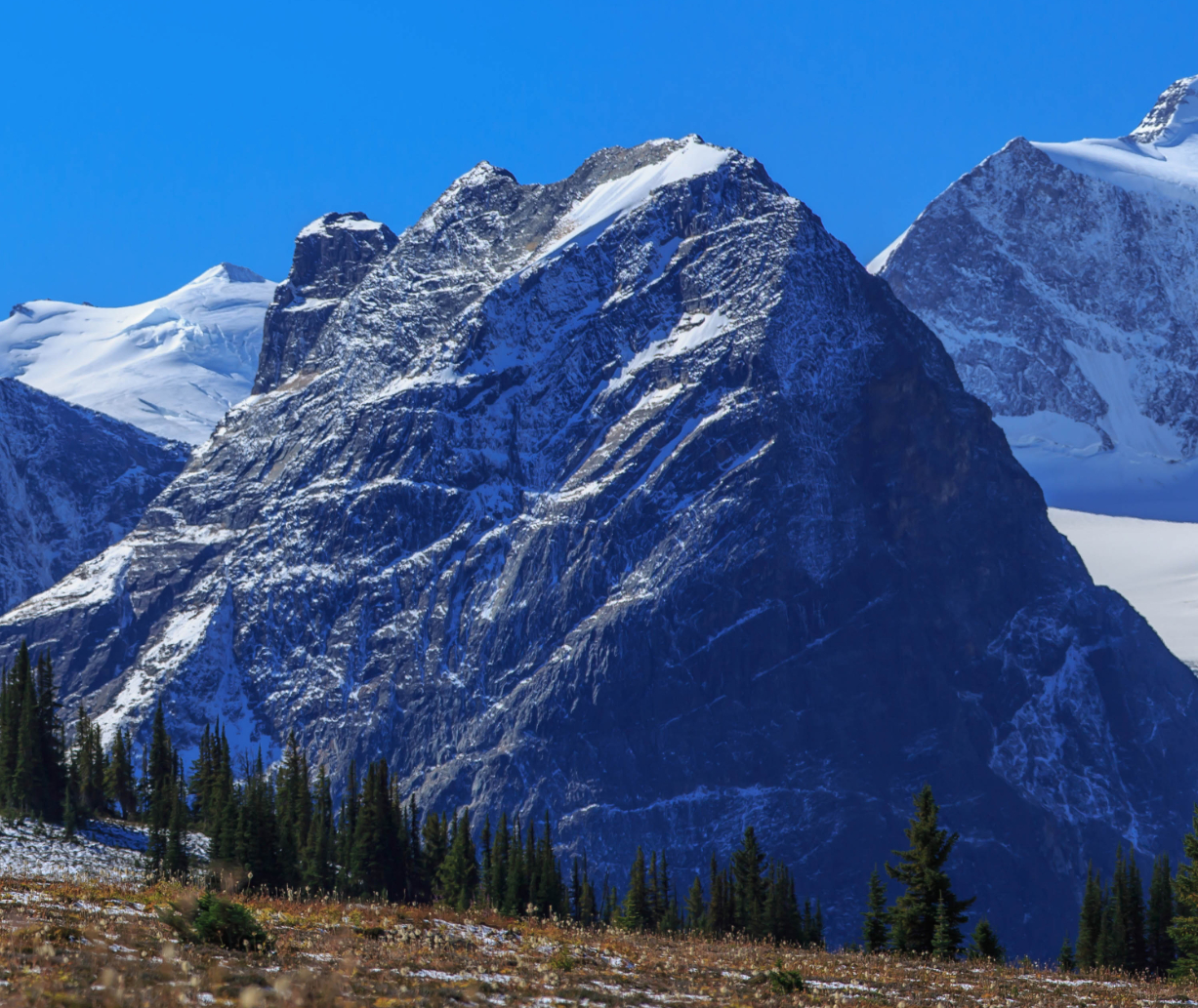
Description
WikipediaMount Topham, is a 2,872-metre (9,423-foot) mountain summit located in Glacier National Park of British Columbia, Canada. It is part of the Selkirk Mountains range. The mountain is a remote 60 km (37 mi) east of Revelstoke, and 32 km (20 mi) southwest of Golden. Its nearest higher peak is Mount Selwyn, 2.66 km (1.65 mi) to the west. Mount Topham is situated along the western edge of the Deville Glacier. Precipitation runoff from the mountain drains into the Beaver River. Mount Topham was named in 1902 by Arthur Oliver Wheeler to honor Harold Ward Topham (1857–1915), an English mountaineer who explored and mapped the Selkirks. The mountain's name was officially adopted September 8, 1932, by the Geographical Names Board of Canada. Based on the Köppen climate classification, Mount Topham is located in a subarctic climate zone with cold, snowy winters, and mild summers. Winter temperatures can drop below −20 °C with wind chill factors below −30 °C.
Best months
Hiking score 0–100 · 10-yr climate averagesNeighbouring summits
| Name | Elevation | Bearing | Distance |
|---|---|---|---|
| Mount Selwyn | 3,329 m | W 262° | 3.3 km |
| Mount Dawson | 3,377 m | W 262° | 4.3 km |
| Hasler Peak | 3,295 m | W 262° | 4.3 km |
| Mount Macoun | 3,018 m | N 338° | 4.4 km |
| Mount Fox | 3,178 m | W 287° | 4.5 km |
| Feuz Peak | 3,273 m | W 262° | 4.8 km |