Mount Forde
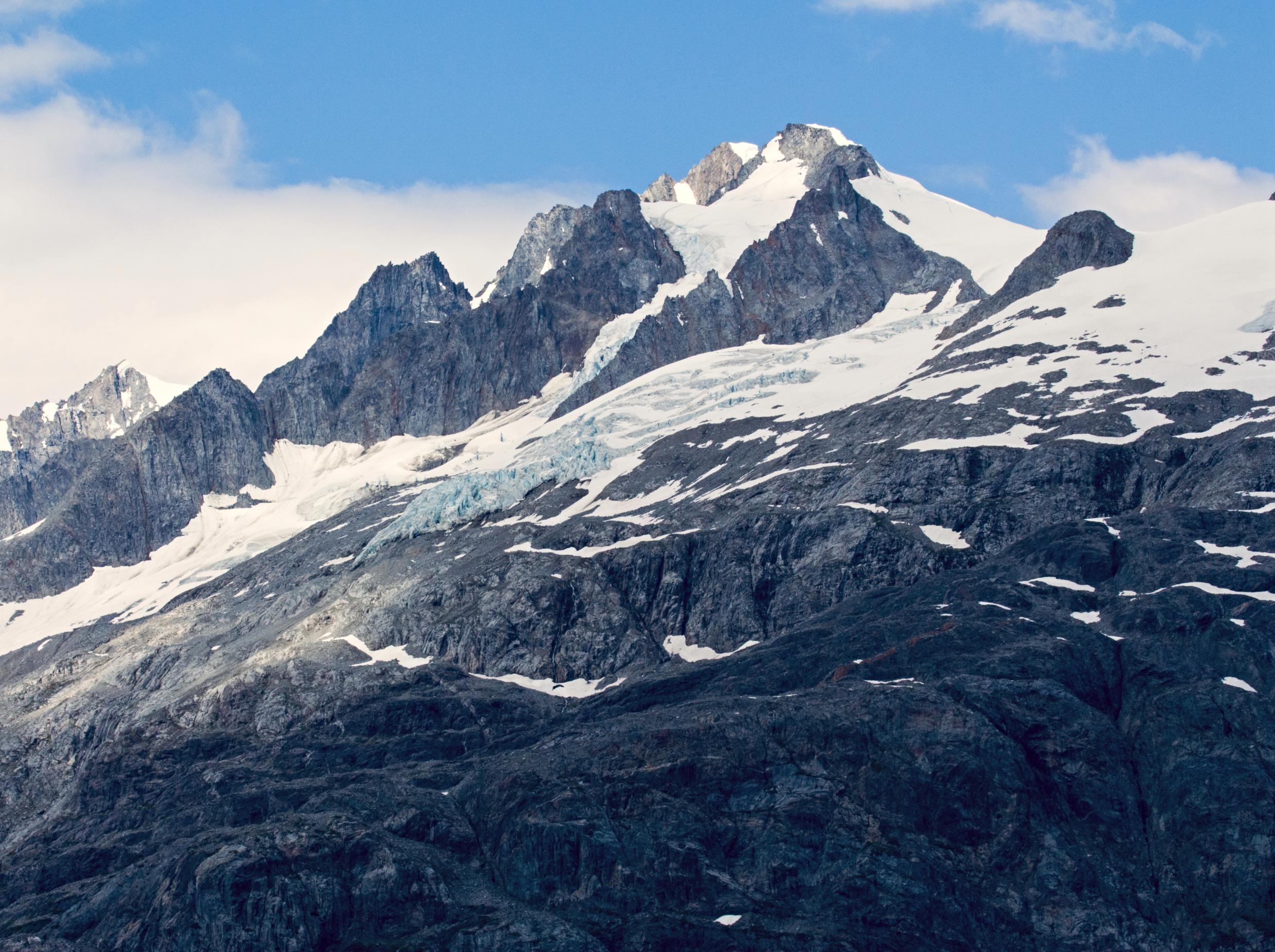
Description
WikipediaMount Forde, also known as Boundary Peak 161, is a 6,883-foot (2,098 m) mountain summit located in the Fairweather Range of the Saint Elias Mountains, on the Canada–United States border between southeast Alaska and British Columbia. The peak is situated on the boundary of Glacier Bay National Park and Preserve, near the head of Tarr Inlet, 109 mi (175 km) northwest of Juneau, and 4.4 mi (7 km) northeast of Mount Turner, which is the nearest higher peak. Although modest in elevation, relief is significant since the mountain rises up from tidewater in less than four miles. The mountain was named by the Geographical Names Board of Canada on December 4, 1928 for John Preston Forde, a surveyor and engineer with the Public Works Department of the Dominion of Canada, who visited Tarr Inlet in 1925 and 1928 to measure glacial recession. He was also the vice-president of the Alpine Club of Canada from 1910 through 1914, having made many ascents in the Canadian Rockies, Selkirk Mountains, and Coast Ranges. The mountain's name was officially approved by the United States Board on Geographic Names on January 9, 1929. Mount Forde can be seen from Tarr Inlet which is a popular destination for cruise ships. The months May through June offer the most favorable weather for viewing.