Record SL-674240 · Wikidata Q3861652
Mount Joffre
No list classifications
Elevation
3,433
m
11,263 ft
Prominence
1,505 m
Isolation
—
Coordinates
50.5284° N,
115.2069° W
Grid ref
—
Description
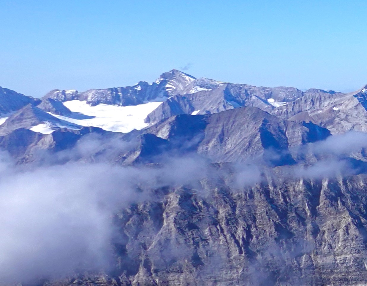
WikipediaMount Joffre is a mountain located on the Continental Divide, in Peter Lougheed Provincial Park, Alberta, and Elk Lakes and Height of the Rockies Provincial Parks in British Columbia. The mountain was named in 1918 by the Interprovincial Boundary Survey after Marshal Joseph Joffre, commander-in-chief of the French Army during World War I. The normal climbing route (UIAA class II) is via the north face, which is covered by the Mangin Glacier.
First ascent
Date
1919
Joseph Hickson, guided by Edward Feuz jr
Source · wikipedia
Best months
Hiking score 0–100 · 10-yr climate averagesRows beneath each bar: mean temperature, monthly precipitation. Highest-scoring month in red.
Neighbouring summits
| Name | Elevation | Bearing | Distance |
|---|---|---|---|
| Mount Mangin | 3,057 m | NW 318° | 2.0 km |
| Mount Ney | 3,060 m | E 97° | 2.3 km |
| Unnamed Peak | 3,183 m | NE 42° | 2.3 km |
| Mount Nivelle | 3,256 m | SE 115° | 2.3 km |
| Mount Castelnau | 3,005 m | E 90° | 3.0 km |
| Mount Cordonnier | 3,021 m | NW 324° | 3.0 km |