Record SL-673471 · Wikidata Q6921022
Mount Haig
No list classifications
Elevation
2,610
m
8,563 ft
Prominence
685 m
Isolation
—
Coordinates
49.2892° N,
114.4467° W
Grid ref
—
Description
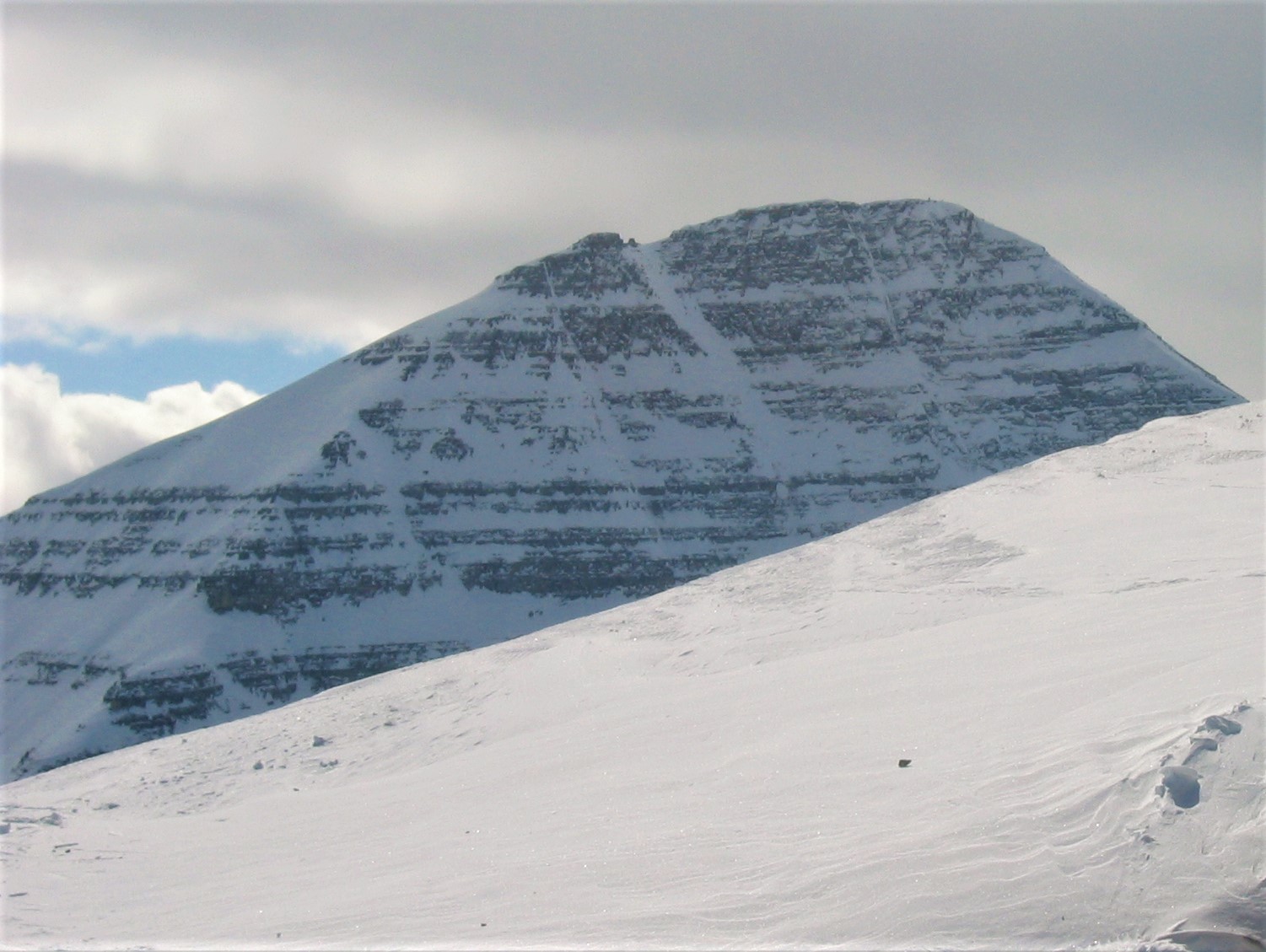
WikipediaMount Haig is located on the border of Alberta and British Columbia on the Continental Divide. It was named in 1862 after Haig, Captain R.W. Mount Haig is the highest peak of Gravenstafel Ridge; its lower north and east faces feature as back country cat skiing for Castle Mountain Resort on neighbouring Gravenstafel Mountain.
Best months
Hiking score 0–100 · 10-yr climate averagesRows beneath each bar: mean temperature, monthly precipitation. Highest-scoring month in red.
Neighbouring summits
| Name | Elevation | Bearing | Distance |
|---|---|---|---|
| Boot Hill | 2,504 m | SW 231° | 2.2 km |
| Little Kootenay Peak | 2,285 m | SE 137° | 2.2 km |
| Gravenstafel Ridge | 2,391 m | N 7° | 2.3 km |
| Middle Kootenay Mountain | 2,485 m | S 169° | 2.8 km |
| Haig S3 | 2,515 m | S 181° | 2.8 km |
| Tombstone Mountain | 2,514 m | SW 231° | 3.5 km |