Record SL-860485 · Wikidata Q139831
Wila Qullu
No list classifications
Elevation
4,730
m
15,518 ft
Prominence
—
Isolation
—
Coordinates
18.3833° S,
68.9667° W
Grid ref
—
Description
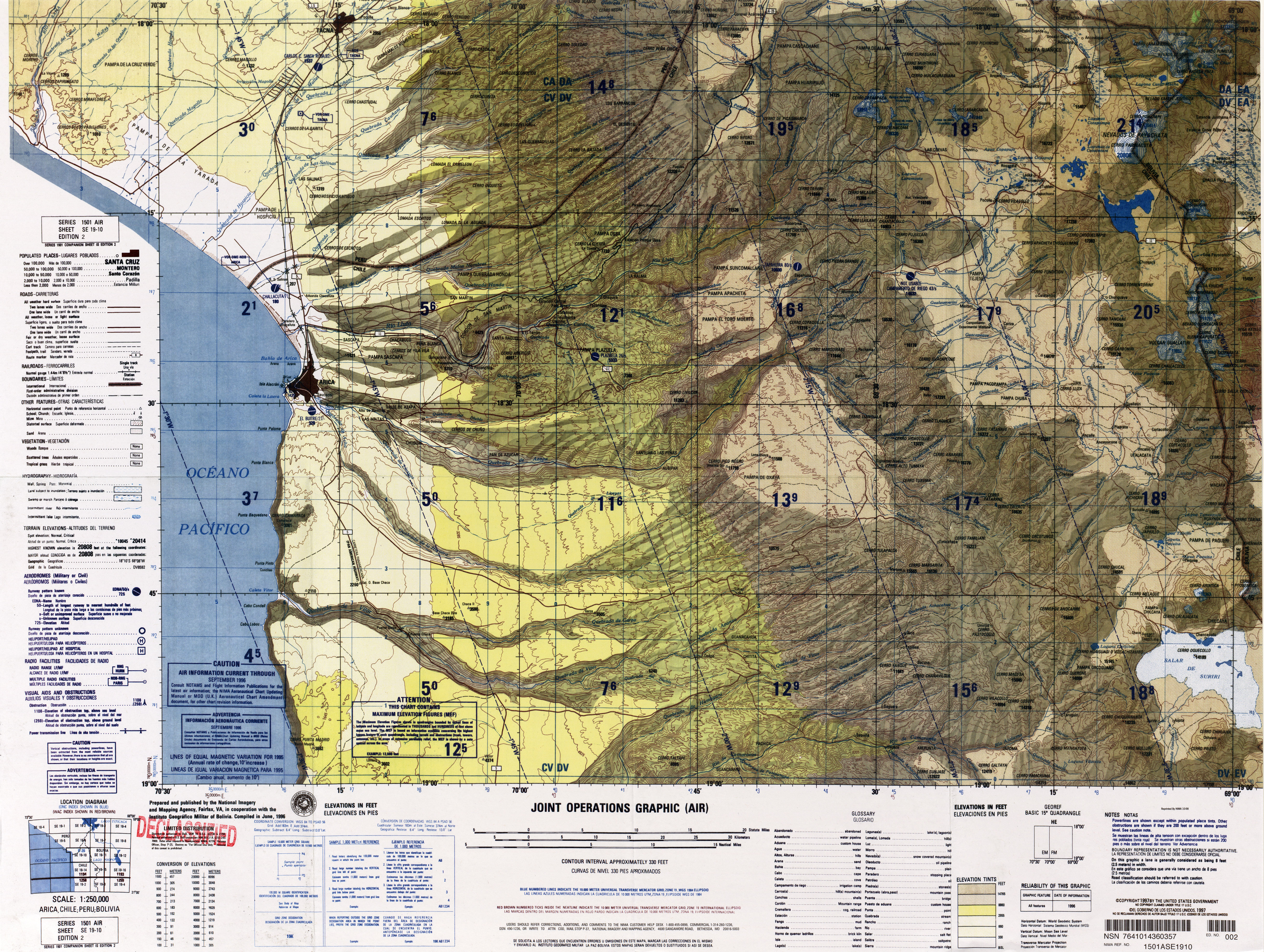
WikipediaWila Qullu (Aymara wila red or blood, qullu mountain, "red mountain", Hispanicized spelling Wila Kkollu) is a 4,730-metre-high (15,518 ft) mountain in the Cordillera Occidental in the Andes of Bolivia. It is located in the Oruro Department, Sajama Province, Turco Municipality, Chachacomani Canton. The mountain is situated east of the volcanoes Capurata, Acotango and Wallatiri and north-east of the mountain Ari Qullu Phujru. It lies south of the Bolivian Route 4 that leads to Tambo Quemado on the border with Chile. There is a valley north of Wila Qullu named Wila Q'awa (Aymara for "red brook" or "red ravine", Wila Khaua). Its intermittent stream flows to the south-east where it meets the Sajama River as a right affluent.
Best months
Hiking score 0–100 · 10-yr climate averagesRows beneath each bar: mean temperature, monthly precipitation. Highest-scoring month in red.