Record SL-705935 · Wikidata Q1437422
Scotts Peak
No list classifications
Elevation
669
m
2,195 ft
Prominence
—
Isolation
—
Coordinates
43.0045° S,
146.2781° E
Grid ref
—
Description
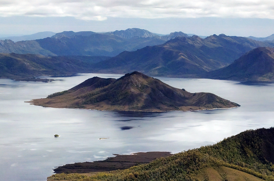
WikipediaScotts Peak is a mountain in South West Tasmania which is associated with the construction and flooding of the original Lake Pedder, as the lake now completely surrounds the peak. It lies east of the Frankland Range and has an elevation of 669 metres. There is a Scotts Peak Dam and a Scotts Peak Dam Road in the region. Scotts Peak is accessible by Scotts Peak Dam Road and the Lake Pedder boat ramp. Many people kayak across the reservoir to hike Scotts Peak.
Best months
Hiking score 0–100 · 10-yr climate averagesRows beneath each bar: mean temperature, monthly precipitation. Highest-scoring month in red.
Neighbouring summits
| Name | Elevation | Bearing | Distance |
|---|---|---|---|
| Red Knoll | 458 m | S 181° | 3.7 km |