Record SL-706824 · Wikidata Q6580772
Mount Separation
No list classifications
Elevation
1,480
m
4,856 ft
Prominence
—
Isolation
—
Coordinates
53.0795° S,
73.5642° E
Grid ref
—
Description
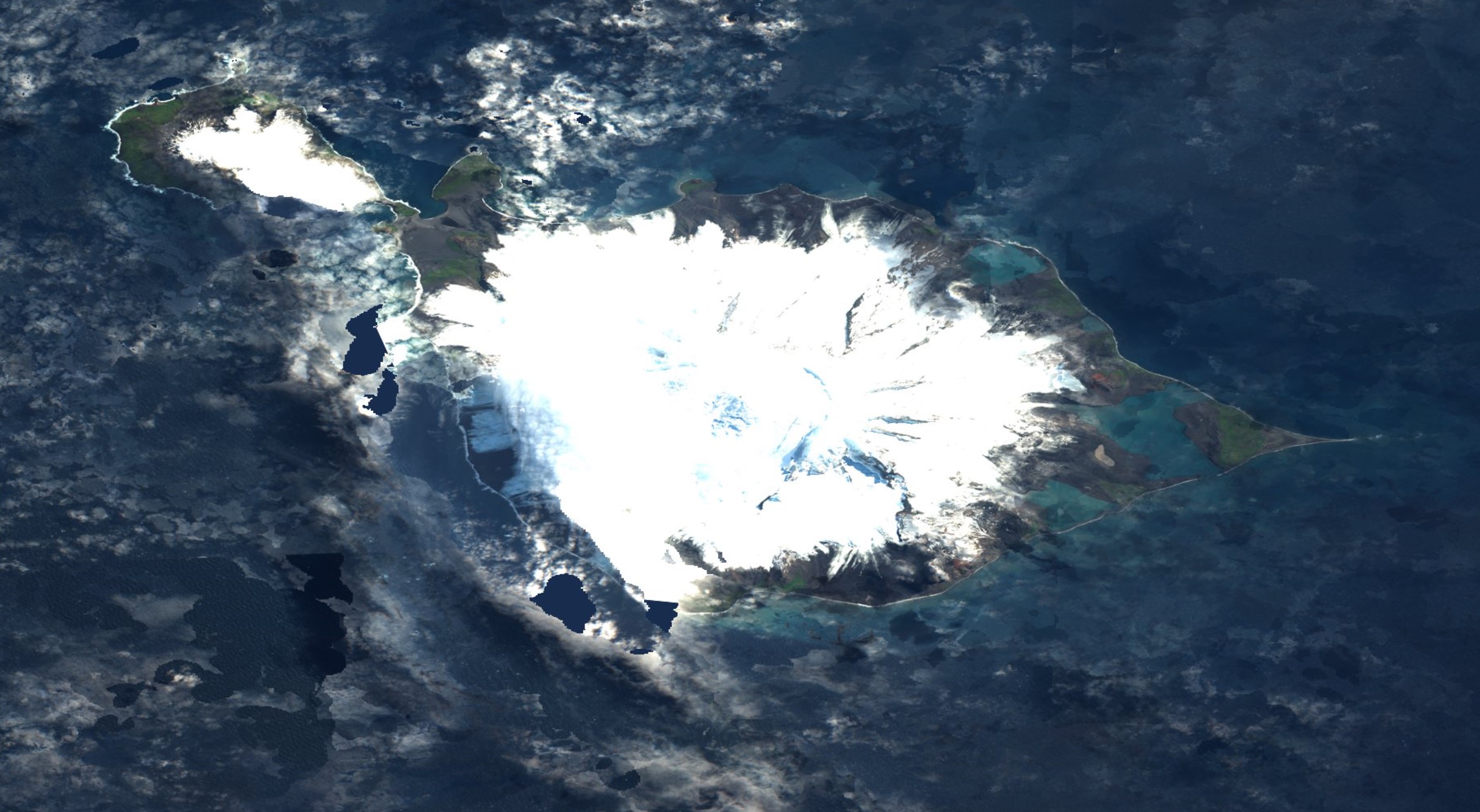
WikipediaMount Separation (53°5′S 73°33′E) is a rocky peak, 1,480 m, standing 1 nautical mile (1.9 km) northeast of Campbell Peak on the northeast flank of Big Ben, the dominating mountain on Heard Island. Surveyed in 1948 by the ANARE (Australian National Antarctic Research Expeditions) and probably so named by them because this feature lies somewhat apart from the main cluster of peaks near the summit of Big Ben. This article incorporates public domain material from "Mount Separation". Geographic Names Information System. United States Geological Survey.
Best months
Hiking score 0–100 · 10-yr climate averagesRows beneath each bar: mean temperature, monthly precipitation. Highest-scoring month in red.
Neighbouring summits
| Name | Elevation | Bearing | Distance |
|---|---|---|---|
| Campbell Peak | 2,415 m | SW 216° | 1.8 km |
| Fremantle Peak | 2,375 m | W 258° | 3.9 km |
| Mawson Peak | 2,745 m | SW 229° | 4.2 km |
| Big Ben | 2,745 m | SW 235° | 4.3 km |
| Dome | 2,410 m | W 264° | 4.3 km |
| Budd Peak | 2,315 m | S 190° | 4.4 km |