Fuscher-Kar-Kopf
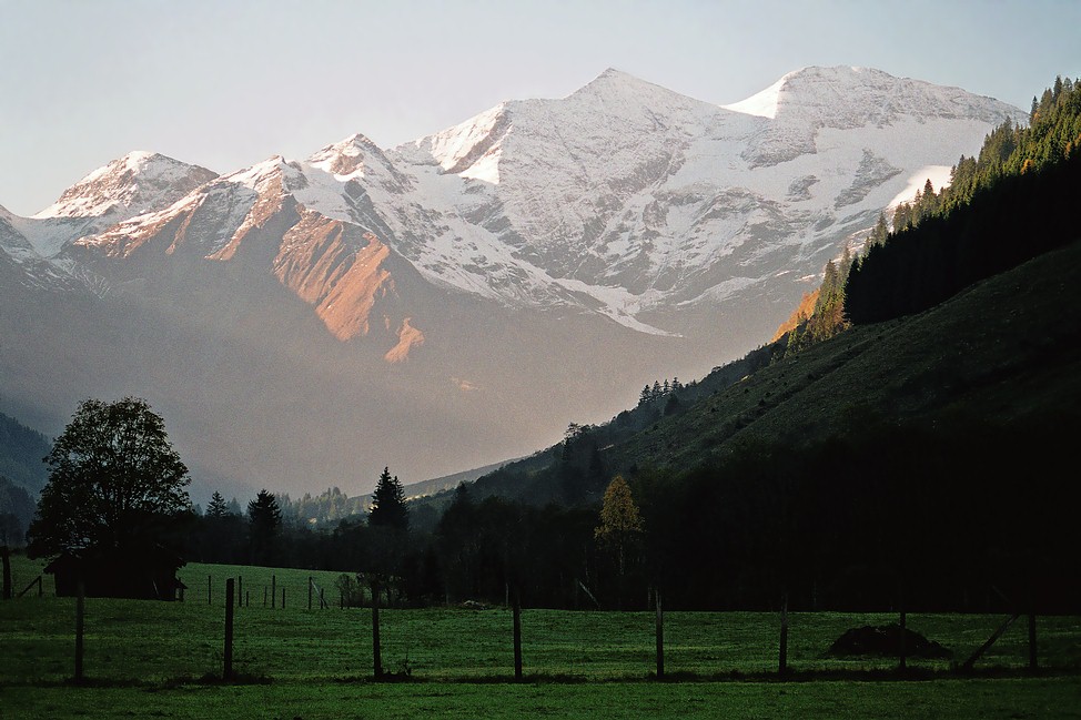
Description
WikipediaThe Fuscherkarkopf, sometimes also written Fuscher-Kar-Kopf in German and formerly also called the Fuschereiskarkopf, is one of the twin peaks of a mountain in the Glockner Group in the centre of the main mountain chain (Mittleren Tauernhauptkamm) in the High Tauern, a range in the Austrian Central Alps. The mountain lies right on the border between the Austrian states of Salzburg and Carinthia. The main peak is 3,331 metres high, but the northwest summit is only 3,252 metres high. The two peaks are about 500 metres apart and linked by a curved firn-covered ridge. Further sharp, prominent ridges run away to the northwest and west, forming the main crest of the Tauern. To the southwest the Heiligenblut Open Face (Heiligenbluter Freiwand) branches off, a mighty side ridge that starts as the southeast ridge (Südostgrat) at the Fuscherkarkopf. The northwest summit has a great, 650-metre-high (2,130 ft) West Face (Westwand), that used to be covered with firn, but today is covered with loose rock slabs. The mountain is easy to reach from the Hofmanns Hut over the southwest ridge (Südwestgrat) and offers a good view of the Großglockner and the Pasterze. The peak was first climbed in the 1840s by the hunter, Gregor Maier, known as Badhans, from Fusch.
First ascent
Best months
Hiking score 0–100 · 10-yr climate averagesNeighbouring summits
| Name | Elevation | Bearing | Distance |
|---|---|---|---|
| Freiwandkasten | 3,114 m | S 173° | 0.6 km |
| Sinwelleck | 3,261 m | E 97° | 1.0 km |
| Freiwandspitz | 3,034 m | S 161° | 1.5 km |
| Elschberg | 2,664 m | W 257° | 1.5 km |
| Breitkopf | 3,154 m | NW 333° | 1.8 km |
| Kapuziner | 2,852 m | E 84° | 2.1 km |