Record SL-865969 · Wikidata Q7074344
Ōamaru Peak
No list classifications
Elevation
1,000
m
3,281 ft
Prominence
—
Isolation
—
Coordinates
77.4667° S,
167.9000° E
Grid ref
—
Description
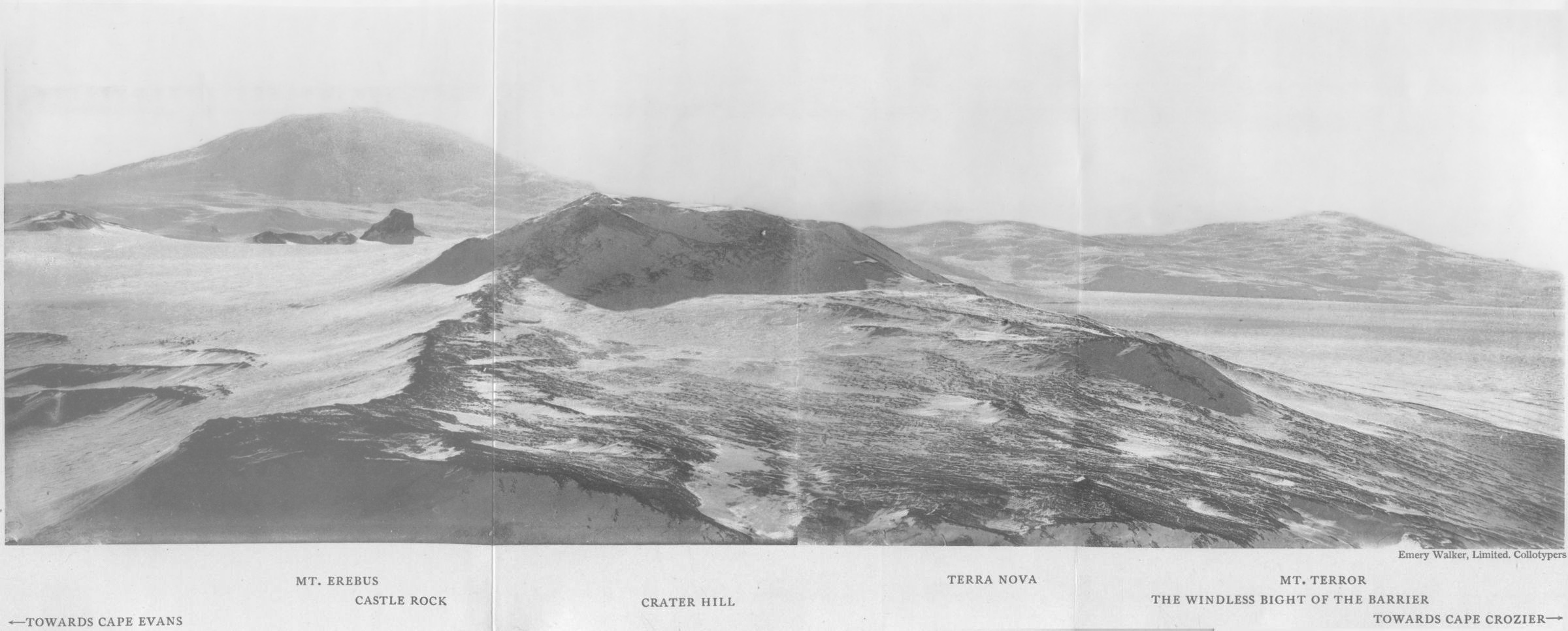
WikipediaMount Terra Nova is a snow-covered mountain, 2,130 metres (6,990 ft) high, between Mount Erebus and Mount Terror volcanoes on Ross Island in Antarctica. It was first mapped by the British National Antarctic Expedition (BrNAE) 1901–04, and named for the Terra Nova, relief ship for this expedition and the British Antarctic Expedition, 1910–13.
Best months
Hiking score 0–100 · 10-yr climate averagesRows beneath each bar: mean temperature, monthly precipitation. Highest-scoring month in red.
Neighbouring summits
| Name | Elevation | Bearing | Distance |
|---|---|---|---|
| Caldwell Peak | 1,300 m | S 180° | 1.8 km |