Record SL-865625 · Wikidata Q6169810
Mount Tegge
No list classifications
Elevation
1,570
m
5,151 ft
Prominence
—
Isolation
—
Coordinates
77.9500° S,
85.2500° W
Grid ref
—
Description
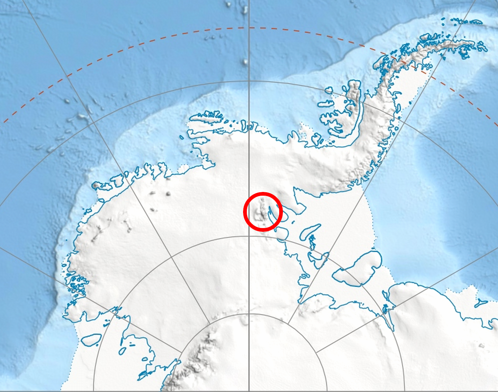
WikipediaMount Tegge is an isolated mountain mass (1,570 m) located at the mouth of Embree Glacier, on the east side of the Sentinel Range in the Ellsworth Mountains. It is located 6.37 km northeast of Mount Hleven in Bangey Heights and 6.65 km east-southeast of Mount McKeown in Sostra Heights. The mountain was first mapped by the United States Geological Survey (USGS) from surveys and U.S. Navy air photos from 1957 to 1959. It was named by the Advisory Committee on Antarctic Names (US-ACAN) for 1st Lieutenant Richard C. Tegge of the United States Air Force (USAF), who participated in establishing the South Pole Station in the 1956–57 season.
Best months
Hiking score 0–100 · 10-yr climate averagesRows beneath each bar: mean temperature, monthly precipitation. Highest-scoring month in red.