Record SL-865999 · Wikidata Q3322102
Mount Shackleton
No list classifications
Elevation
1,465
m
4,806 ft
Prominence
—
Isolation
—
Coordinates
65.2074° S,
63.9213° W
Grid ref
—
Description
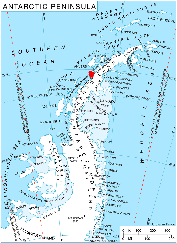
WikipediaMount Shackleton (65°13′S 63°56′W) is a mountain, 1,465 m, with perpendicular cliffs facing west, standing 2.5 miles (4.0 km) east of Chaigneau Peak between Leay and Wiggins Glaciers on Kyiv Peninsula, the west side of Graham Land in Antarctica. It was discovered by the 1908–10 French Antarctic Expedition under Charcot and named by him for Sir Ernest Shackleton.
Best months
Hiking score 0–100 · 10-yr climate averagesRows beneath each bar: mean temperature, monthly precipitation. Highest-scoring month in red.
Neighbouring summits
| Name | Elevation | Bearing | Distance |
|---|---|---|---|
| Chaigneau Peak | 760 m | W 257° | 4.6 km |