Record SL-864806 · Wikidata Q6922230
Mount Mogensen
No list classifications
Elevation
2,790
m
9,154 ft
Prominence
362 m
Isolation
—
Coordinates
77.5667° S,
85.8333° W
Grid ref
—
Description
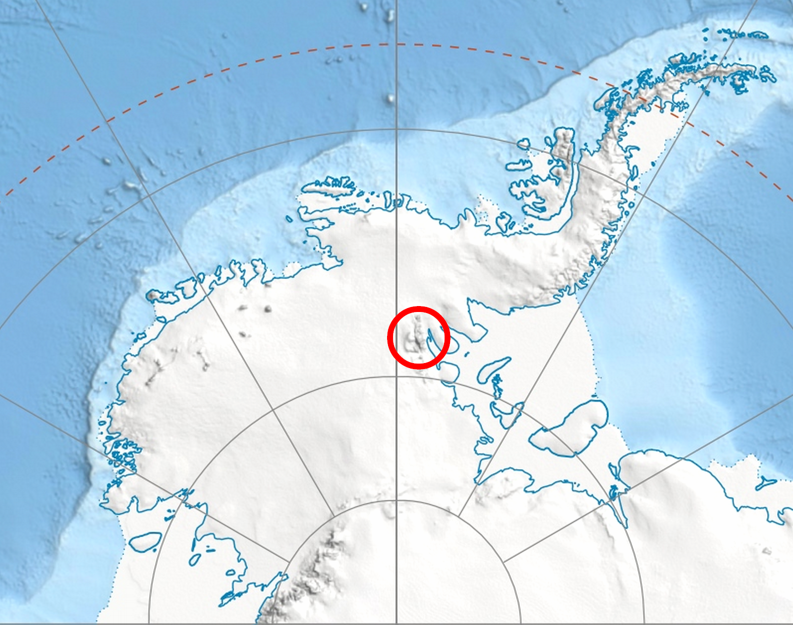
WikipediaMount Mogensen (77°34′S 85°50′W) is a snow-covered mountain, 2,790 metres (9,150 ft) high, standing 5 nautical miles (9 km) northeast of Mount Ulmer in Gromshin Heights on the east side of northern Sentinel Range in Ellsworth Mountains, Antarctica. It surmounts Rutford Ice Stream to the east and the head of Vicha Glacier to the southwest. The mountain was discovered by Lincoln Ellsworth on his trans-Antarctic flight of November 23, 1935, and was named by the Advisory Committee on Antarctic Names for Palle Mogensen, a scientific leader at South Pole Station in 1957–58.
Best months
Hiking score 0–100 · 10-yr climate averagesRows beneath each bar: mean temperature, monthly precipitation. Highest-scoring month in red.